
Phoenix area will welcome ARM field campaign beginning in 2026
Less than two years from now, the Atmospheric Radiation Measurement (ARM) user facility will set out to collect valuable data in the Valley of the Sun.
From April 2026 to September 2027, ARM plans to operate one of its three mobile atmospheric observatories in the Phoenix, Arizona, area. It will be part of a new field campaign called Desert-Urban SysTem IntegratEd AtmospherIc Monsoon (DUSTIEAIM) in the Southwestern United States.
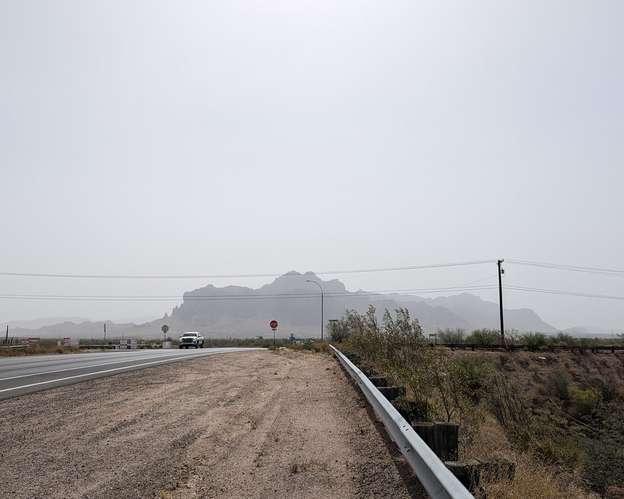
DUSTIEAIM (pronounced “dusty-aim”) will study how the urban and desert environments influence convection and precipitation around Phoenix, especially in relation to the summertime North American Monsoon. In the Phoenix area, monsoon season is known to produce large dust storms, occasional heavy rain, and damaging flash floods.
DUSTIEAIM’s lead scientist is ARM veteran Allison C. Aiken, a research scientist at Los Alamos National Laboratory in New Mexico. She currently has a team of 19 co-investigators. Among them, they represent nine universities, four national laboratories, and one industrial research and development division.
The U.S. Department of Energy (DOE) selected DUSTIEAIM from a fall 2023 call seeking proposals for ARM domestic and international field campaigns that would support the DOE Biological and Environmental Research (BER) program’s interests in advancing the fundamental understanding of atmospheric processes to improve regional and global earth system models. An international campaign from the call is expected to be announced this fall.
Why Phoenix?
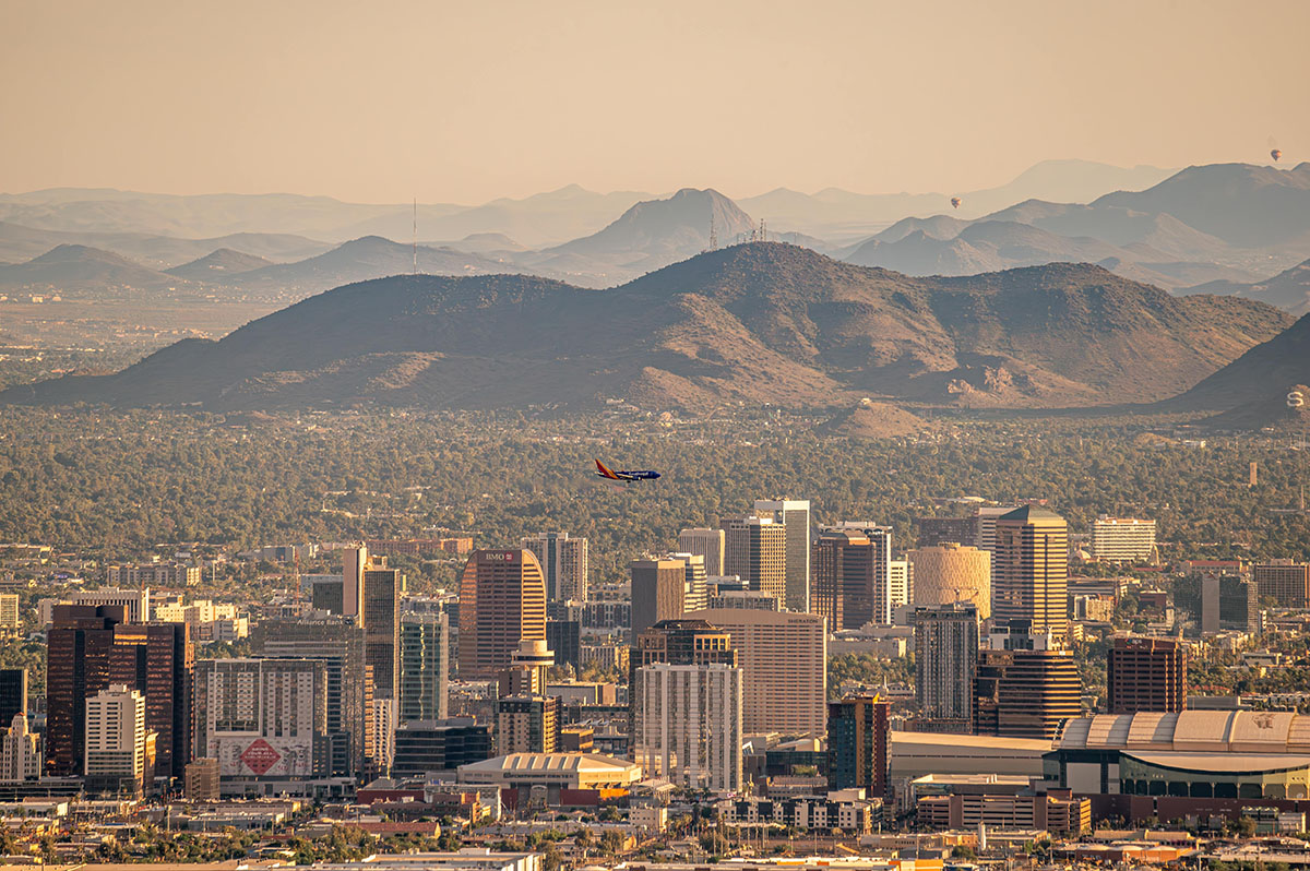
With about 1.6 million residents, Phoenix is the fifth-largest city in the United States. Looking beyond the city limits, over 5 million people live in the Phoenix-Mesa-Chandler Metropolitan Statistical Area. It is one of the fastest-growing areas in the country.
Phoenix depends on the Colorado River for 38% of its water, but the river’s supply is highly taxed, especially as it serves some of the hottest, largest cities in the United States. In July 2023, Phoenix logged a record streak of 31 days with temperatures at or above 110 degrees Fahrenheit.
As the area gets drier and more prone to wildfires, scientists want to understand how changes across land surfaces might affect the water cycle in the region, which is already parched. Aiken says that models are “showing an increase in precipitation in the Southwest, and so far, nobody’s really seen it.”
Researchers also want observations to help improve modeling of where dust and wildfire particles from the area might travel. Such particles might affect atmospheric processes in other regions.
DUSTIEAIM data could help fill the knowledge gap. So could the campaign’s planned partnership with an existing DOE Urban Integrated Field Laboratory (UIFL) project in the Flagstaff-Phoenix-Tucson corridor. DOE is currently funding four multi-institutional UIFL projects around the United States to learn how climate change is affecting urban areas.
“We are excited about the opportunities that the synergies between the UIFL project and the DUSTIEAIM campaign will provide for understanding how atmospheric processes both impact and are affected by urban regions,” says DOE ARM Program Manager Sally McFarlane.
Introducing SW-IFL
The Arizona UIFL project is known as the Southwest Urban Integrated Field Laboratory (SW-IFL, pronounced “swiffle”). Observationalists, modelers, and resilience experts are working together to improve understanding of how extreme heat, air pollution, and limited water are interacting to affect the region’s rapidly growing population.
SW-IFL seeks to give decision-makers information that can help them respond to environmental concerns, evaluate possible solutions, and aid vulnerable communities. According to the 2020 U.S. Census, 14.6% of Phoenix’s population was considered to be in poverty.
Five DUSTIEAIM co-investigators—Jean Andino, Matei Georgescu, Katia Lamer, Mukul Tewari, and Enrique Vivoni—are on SW-IFL’s leadership team.
The DUSTIEAIM team proposed that ARM’s mobile observatory be located at the Arizona State University West Valley campus in northwest Phoenix.
The observatory, which consists of instruments, shelters, and data and communications systems, will operate 24 hours a day, seven days a week.
“We want the ARM Mobile Facility site to be the epicenter location to help answer questions that SW-IFL is trying to get at from multiple sites across a much larger area, while DUSTIEAIM will use the dense set of ARM observations to get at the detailed atmospheric processes for Phoenix,” says Aiken.
In another ARM-UIFL connection, an ARM campaign will begin collecting data in December 2024 in tandem with a UIFL project based in Baltimore, Maryland. The ARM mobile observatory used in Baltimore will go to Phoenix after finishing its yearlong deployment in Maryland.
DUSTIEAIM’s Science Objectives
The DUSTIEAIM team seeks to characterize interactions between the atmosphere and urban and desert land surfaces. The team also wants to quantify the response of the Southwestern U.S. water cycle to changes in regional airmasses, sources, and meteorological patterns, particularly during the rainy winter and summer seasons.
Two intensive operational periods are planned during water year 2026–2027 (October 1, 2026, to September 30, 2027). One will focus on winter precipitation from November to March. The other will focus on the North American Monsoon from July to September.
During the campaign, the team will test four hypotheses within each of the following three science objectives:
- Land-Atmosphere Interactions and Impacts: Determine how the urban-rural interface of the Phoenix metro area affects atmospheric processes within the Sonoran Desert.
- Aerosol Processes and Interactions with Clouds and Radiation: Identify which aerosol sources and processes dominate seasonally in Phoenix and evaluate how well earth system models capture their local and regional impacts on clouds and radiation.
- Precipitation Processes: Evaluate how orographic, surface, and aerosol processes intersect with larger-scale meteorological variability to affect spatial and temporal precipitation patterns in and around the Phoenix metro area.
In addition to the mobile observatory, the team has proposed a smaller site in the area to collect below-cloud and possible in-cloud aerosol measurements. These data will be critical for studying convective systems and aerosol-cloud-precipitation interactions.
ARM Connections
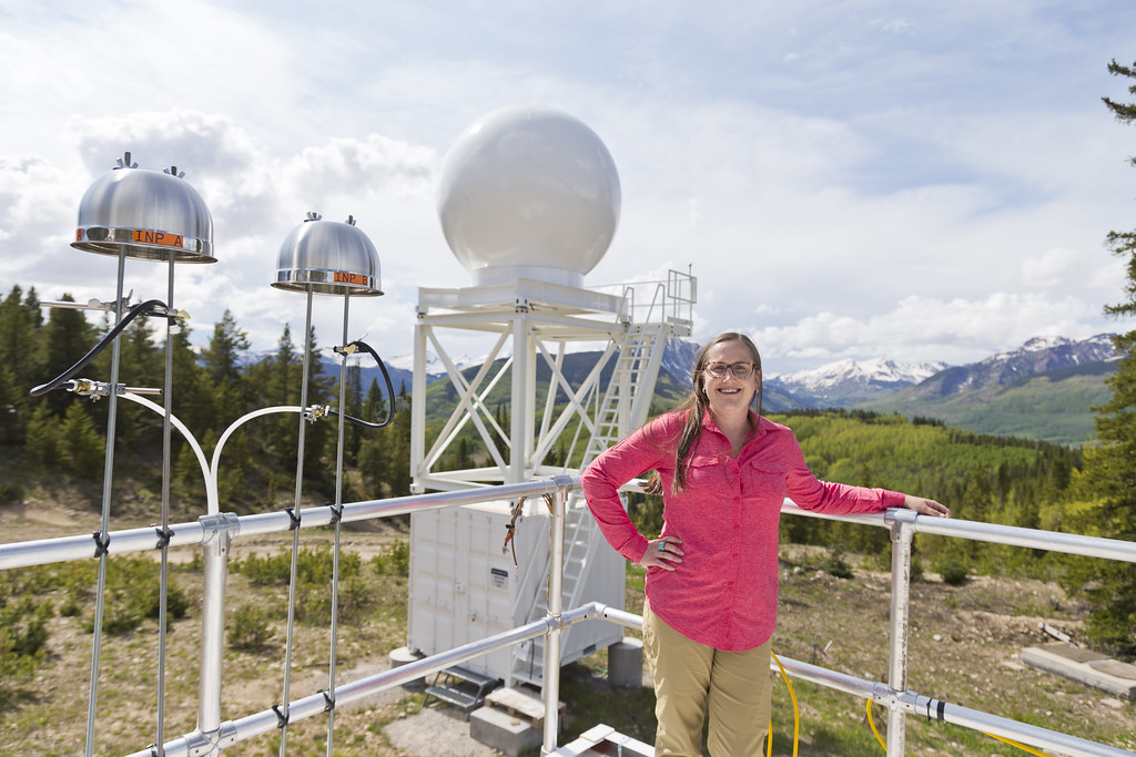
Aiken was a co-investigator for ARM’s 2021–2023 Surface Atmosphere Integrated Field Laboratory (SAIL) campaign in Colorado. SAIL, which collected atmospheric measurements in a watershed in the Upper Colorado River Basin, sought to advance atmosphere-through-bedrock understanding of mountainous water cycles.
During SAIL, Aiken led two related campaigns to help researchers better understand the influences of aerosol processes and aerosol-cloud interactions on the water cycle.
Her team is now studying dust transported to the SAIL area, including its sources and origins. She says it is possible that the dust could be coming from places like the Phoenix area—one example of a potential link between the SAIL and DUSTIEAIM regions.
Aiken’s ARM background also includes her four-year term (2019–2022) on ARM’s User Executive Committee. The committee represents the user community in interactions with ARM management. Aiken served as the vice-chair for the first half of her term and as the chair for the second half.
Four of Aiken’s DUSTIEAIM co-investigators—Bart Geerts, Lynn Russell, Adam Varble, and Paquita Zuidema—led past ARM mobile deployments in Norway, California, Argentina, and the South Atlantic Ocean (Ascension Island), respectively.
ARM’s newest campaign brings together co-investigators from the following institutions:
- Argonne National Laboratory
- Arizona State University
- Brookhaven National Laboratory
- Colorado State University
- Embry-Riddle Aeronautical University
- IBM
- Los Alamos National Laboratory
- New Mexico Institute of Mining and Technology
- Pacific Northwest National Laboratory
- University of California, Merced
- University of California, San Diego
- University of Miami
- University of New Mexico
- University of Wyoming.
ARM is a DOE Office of Science user facility operated by nine DOE national laboratories.