sgp - Hillsboro, KS (Boundary)

Established
1994-01-01
Removed
2009-10-20
Latitude
38.304444° N
Longitude
97.300833° W
Altitude
448 meters
Surface Type
Grass
Instruments
6 (0 active)
Primary Measurement Types
10 (0 active)

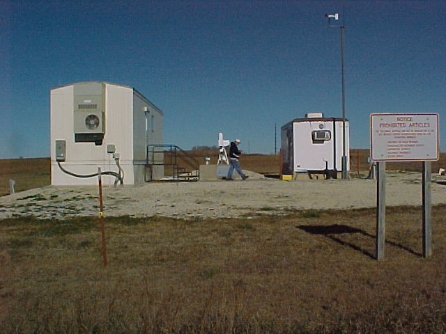
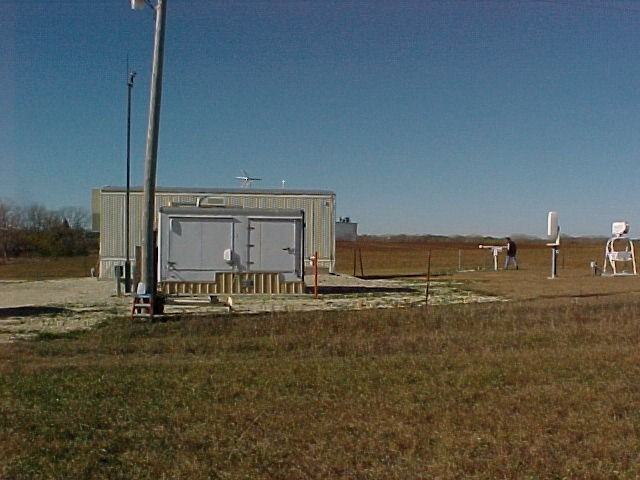
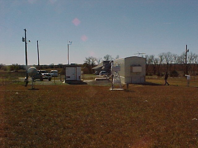
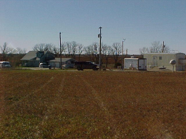
The B1 site is located in the middle of grassy fields near Hillsboro, Kansas.

Click to enlarge images.

Northwest

North

Northeast

West

Site Topographic Map

East

Southwest

South

Southeast

Instruments deployed at SGP - Hillsboro, KS (Boundary)

Atmospheric Emitted Radiance Interferometer
1998-12-15 - 2003-12-10
Ceilometer
1998-12-02 - 2009-10-20
Water Profiles from GOES Satellite Data
1999-01-01 - 2006-06-26
Microwave Radiometer
1994-02-12 - 2009-10-16
Balloon-Borne Sounding System
1994-04-11 - 2007-06-18
Temperature, Humidity, Wind and Pressure Sensors
1999-09-21 - 2009-10-20

Primary Measurements collected at sgp - Hillsboro, KS (Boundary)

Atmospheric moisture
Browse Data
Atmospheric pressure
Browse Data
Atmospheric temperature
Browse Data
Cloud base height
Browse Data
Horizontal wind
Browse Data
Liquid water path
Browse Data
Longwave spectral brightness temperature
Browse Data
Longwave spectral radiance
Browse Data
Microwave narrowband brightness temperature
Browse Data
Precipitable water
Browse Data