

Power Your Research with ARM
The U.S. Department of Energy’s Atmospheric Radiation Measurement (ARM) User Facility provides 30-plus years of atmospheric measurements, including data sets from all seven continents and five oceans, to advance the understanding of the Earth’s atmosphere.
Access ARM Data
ARM collects continuous measurements and develops data products that promote the advancement of earth system models.
New to ARM?
As a U.S. Department of Energy Office of Science user facility, ARM makes its data freely available to scientists around the world.
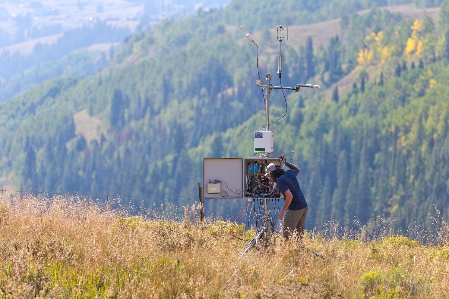
Use ARM Facilities for Your Research
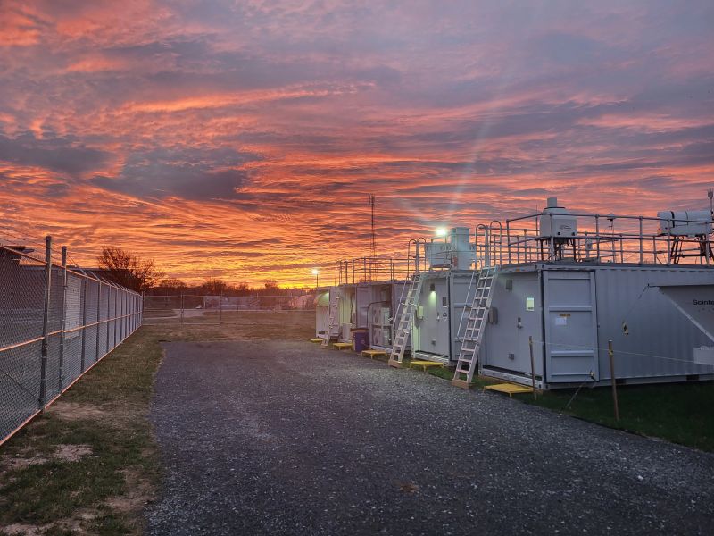
Coast-Urban-Rural Atmospheric Gradient Experiment
1 December 2024 - 30 November 2025 View All CampaignsExplore the ARM Observatories
Discover ARM's Capabilities

Read the Latest from ARM
Features
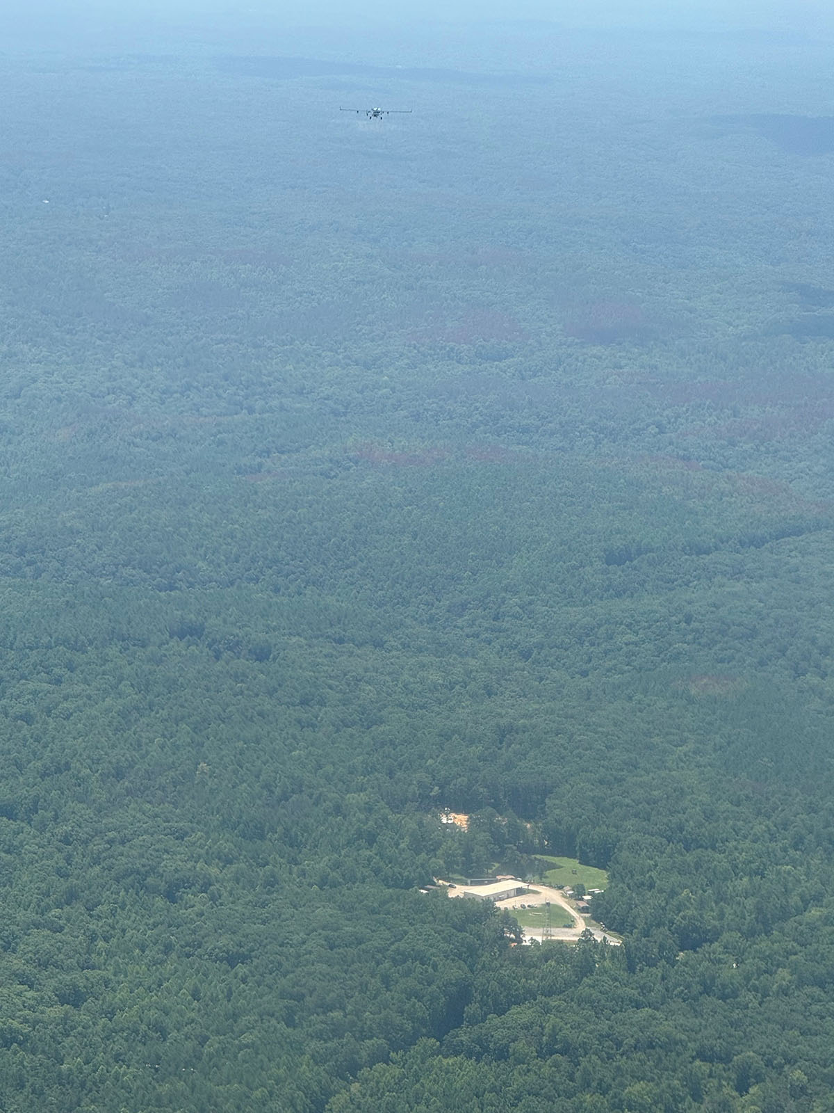
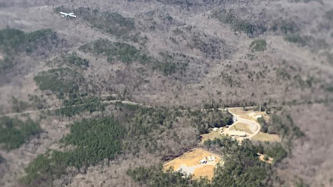
Bankhead National Forest Observations Are Reaching Full Speed
Continuous data and measurements from recent intensive operations, including ArcticShark uncrewed aerial system flights, are available from ARM’s atmospheric observatory in Alabama.
Welcome to the New-Look ARM.gov!
ARM.gov has gotten a refresh after more than eight years with its previous look. Peruse the site's new features!
Busy at Bankhead
More instruments are going up at ARM’s newest long-term atmospheric observatory, and science activity is increasing.
Data Announcements
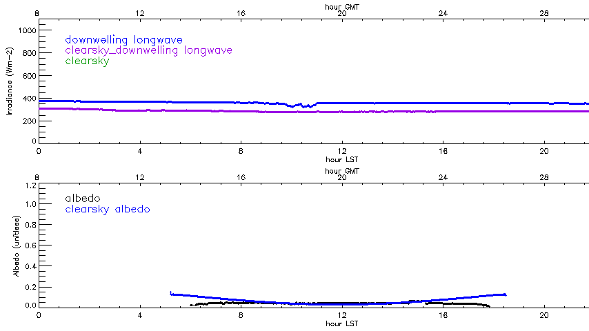
New Radiative Flux Analysis Data Released
This value-added product calculates clear-sky irradiance in shortwave and longwave surface fluxes from measured broadband irradiance at ARM sites.
Aerosol Optical Properties Data Produced for 2 Ongoing ARM Deployments
The Aerosol Optical Properties (AOP) value-added product is now available for ARM’s Bankhead National Forest atmospheric observatory in Alabama and the Coast-Urban-Rural Atmospheric Gradient Experiment (CoURAGE) in the Baltimore, Maryland, area.
New ARM Trajectory Data Now Available for Evaluation
The multipurpose ARM trajectory (ARMTRAJ) value-added product now consists of six trajectory data sets to support atmospheric research using ARM data.
Research Highlights
Propagating Information Content: An Example with Advection
This study provides a methodology to propagate the uncertainties of geophysical variables retrieved from multiple remote sensors in order to estimate the information content of derived quantities. A practical example is provided for water vapor and temperature advection fields derived from remotely sensed temperature, water vapor, and wind profiles.
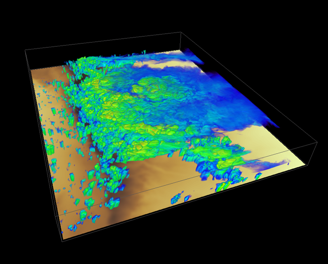
Improving Estimates of Higher-Order Moments from Lidar Observations at the Boundary Layer Top
This work demonstrates a new technique for estimating higher-order statistics (e.g., variance, skewness, covariance) from high-temporal-resolution ground-based lidar data, where the data is normalized to the height of the convective boundary layer (CBL) before the statistics are computed.
Gray Zone, Clear Gaps: Sea Breezes and Convection Modeling at 1 km
Even at 1-km resolution, numerical weather prediction models still fall within the "gray zone" where critical turbulent and cloud-microphysical processes remain under resolved.
Follow Us:


Keep up with the Atmospheric Observer
Updates on ARM news, events, and opportunities delivered to your inbox
ARM User Profile
ARM welcomes users from all institutions and nations. A free ARM user account is needed to access ARM data.


