

ARM’s New European Partner
Published: 26 July 2024
ARM teams up with a 22-nation consortium of observatories and data centers to broaden measurements of Earth’s atmosphere

In July 2024, an arrestingly ambitious article appeared in the Bulletin of the American Meteorological Society (BAMS) that may signal a future era of more widely shared atmospheric data.
The 68-author publication outlines the mission, governance, services, and achievements of the Aerosol, Clouds and Trace Gases Research Infrastructure (ACTRIS), a pan-European consortium of atmospheric science observatories and data centers. The lead author is French scientist Paolo Laj, who directs the Global Atmosphere Watch Programme of the World Meteorological Organization.
ACTRIS became official in April 2023, with its designation as the 33rd European Research Infrastructure Consortium. At the time, 17 countries with legacy observation facilities signed on as founding members and observer nations. As of mid-2024, 22 European nations are taking part, and 30-plus observation sites are contributing data.
ACTRIS has a head office and a data center, in addition to central facilities that support different parts of the research infrastructure. Its chief aspiration is to establish a coordinated, collaborative system of atmospheric observations and then integrate itself into a land- and space-based global observing system to improve earth system models.
Prominent among worldwide networks and organizations working with ACTRIS is the U.S. Department of Energy’s Atmospheric Radiation Measurement (ARM) user facility.
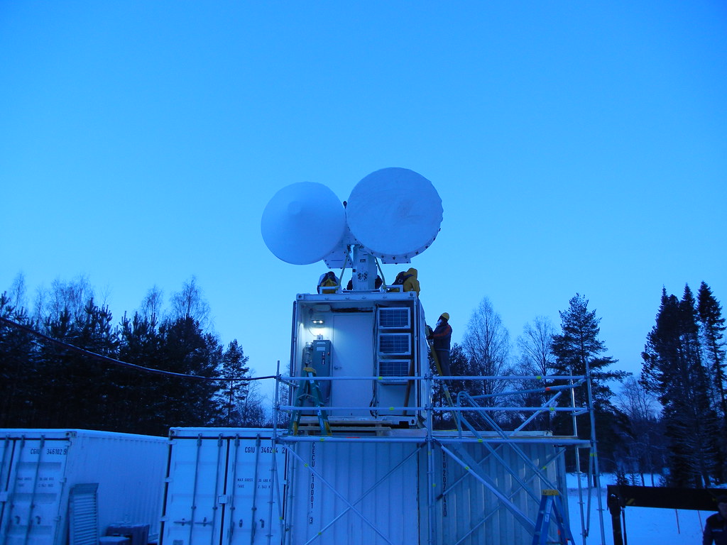
ARM operates six atmospheric observatories—three fixed and three mobile—in climate-critical areas of the world. The ARM Data Center houses more than 30 years of continuous atmospheric measurements.
ACTRIS Origins
Which countries are participating in ACTRIS? See a map of current ACTRIS countries.
As a concept, ACTRIS goes back at least to 2016, when it was a project within the European Strategy Forum on Research Infrastructures, a research road map designed in part to improve international outreach.
However, what could be called an informal ACTRIS research community was active two decades ago, as illustrated by a pair of 2004 papers based on the chemistry and concentrations of European aerosols linked to air quality. In the first, data came from 31 observation sites. In the second, data came from 24 sites.
A third influential paper appeared in BAMS in 2006. It adds a sense of where ACTRIS came from, as well as early ARM conceptual influences on ACTRIS.
The study, led by Anthony J. Illingworth, who recently retired from the University of Reading in the United Kingdom, describes the European Cloudnet project. This was an effort to compare ground-based observations of cloud properties at three European sites with seven European forecast and climate models representing cloud radiative properties and precipitation.
The observation sites—in France, the Netherlands, and the United Kingdom—had operated for several years. With instruments such as cloud radars, ceilometers, and dual-frequency microwave radiometers, the sites resembled small-scale, fixed-location ARM observatories.
By 2006, ARM operated three such observatories in Oklahoma, Alaska, and the western Pacific. All of them were acknowledged in Illingworth’s study. So were two papers, from 1990 and 1994, that referenced ARM’s early days.
Building the ARM-ACTRIS Connection
ARM representatives and some core ACTRIS developers initiated a mostly virtual dialogue in 2019 about how a veteran U.S. collector of atmospheric data could cooperate with a new European partner.
Laj took part in the calls, correspondence, and meetings as a coordinator of the nascent ACTRIS, championing its vision for integrating and sharing long-term observations.
Tuukka Petäjä of the University of Helsinki was another regular participant in the ARM-ACTRIS video calls. In 2014, he led an ARM field campaign, Biogenic Aerosols – Effects on Clouds and Climate (BAECC), in Finland’s boreal forests.
Ewan O’Connor of the University of Reading also joined the online meetings. Petäjä and O’Connor were co-authors on the recent BAMS paper.
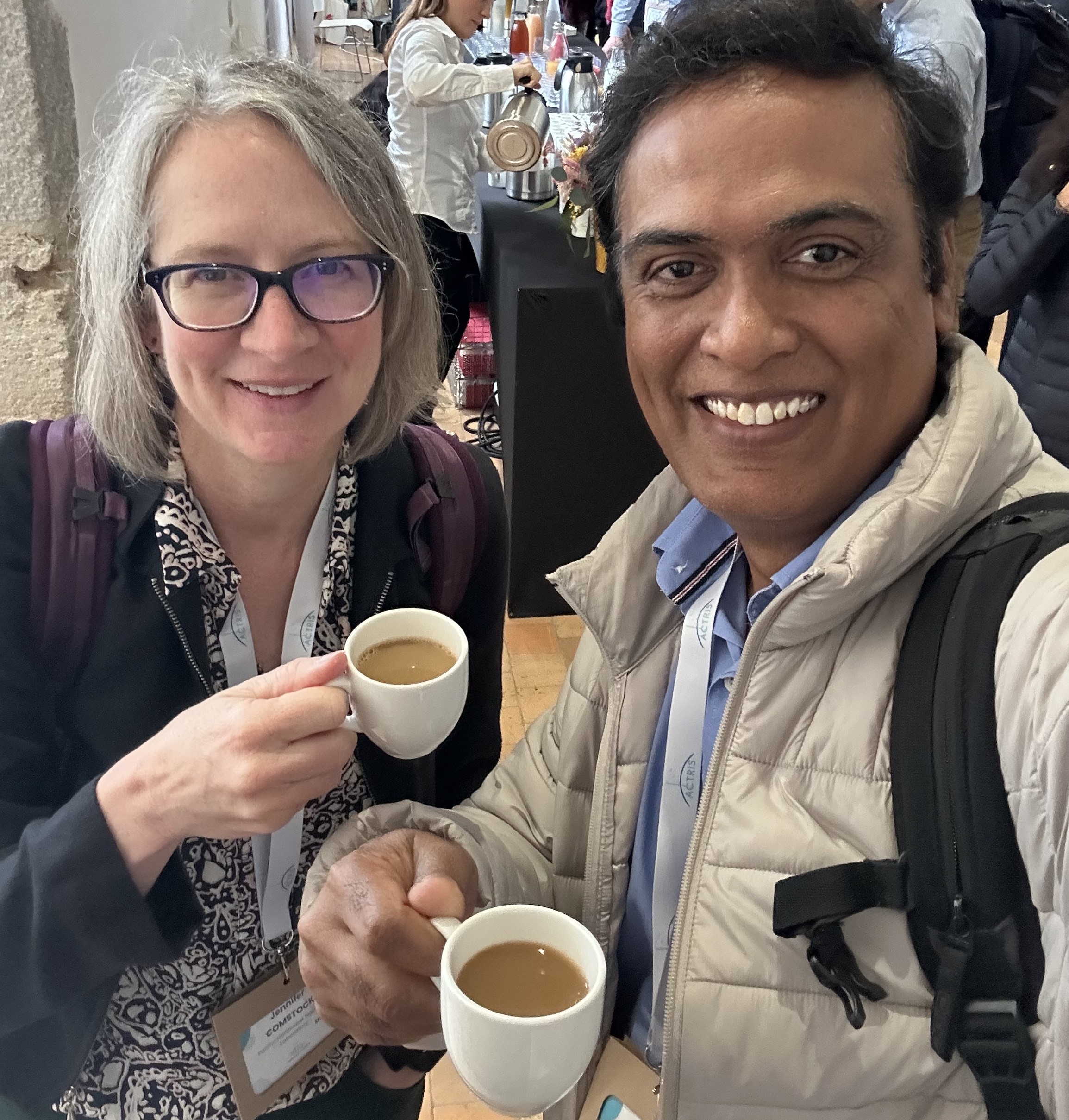
ARM participants in the early discussions included Director Jim Mather, Associate Director for Research Jennifer Comstock, and Chief Data and Computing Officer Giri Prakash.
“We started really talking about how we can work together” with ACTRIS, says Comstock.
In 2019, before the COVID-19 pandemic curtailed travel, Mather visited the World Calibration Centre for Aerosol Physics (WCCAP) in Leipzig, Germany. It was another step toward scientific collaboration.
CARGO-ACT: A Start

What eventually emerged from the ARM-ACTRIS dialogue that began in 2019 was a joint project called CARGO-ACT. That is short for a long project name: Cooperation and AgReements enhancing Global interOperability for Aerosol, Cloud and Trace gas research infrastructures.
CARGO-ACT, overseen by the Finnish Meteorological Institute, went online in May 2024. O’Connor is CARGO-ACT’s principal investigator.
Mather says the intent of this joint project “is to make our data more similar across our networks to better serve the global research community, including modelers and satellite users.”
In May 2024, Prakash and Comstock represented ARM at the first ACTRIS science conference in Rennes, France. It included the official kickoff event for CARGO-ACT, which so far is the main vehicle for cooperation between ARM and ACTRIS.
Brookhaven National Laboratory atmospheric scientist Olga Mayol-Bracero is CARGO-ACT’s main point of contact for ARM. She directs ARM’s Aerosol Observing Systems (AOS), which collect aerosol measurements at Earth’s surface, as well as the Center for Aerosol Measurement Science (CAMS).
While still not fully operational, CAMS will be the first aerosol calibration facility in the Western Hemisphere, “a sister of the WCCAP,” says Mayol-Bracero, who attended the CARGO-ACT kickoff event virtually. “CARGO-ACT is facilitating all this.”
Current steps in that facilitation process include CAMS procuring reference instruments for calibrating particle size and particle counting.
Tasks at Hand
For its many participants, including ARM, CARGO-ACT is divided into tasks.
Prakash is leading one focused on data interoperability. He calls ARM the lead contributor for data sharing with ACTRIS and is helping establish ARM-ACTRIS metadata standards and a “data citation strategy” to ensure that data sources are accurately credited.
ARM has a role in other tasks that are still coming into focus on governance, common data access, and strategies for how to bring more U.S. observation networks to the ACTRIS project.
Regarding her several tasks, Mayol-Bracero calls CARGO-ACT a step toward “the harmonization of calibration and operation protocols for ARM, NOAA, NASA, and ACTRIS in situ and remote sensing aerosol measurements. This will facilitate intercomparisons among measurements performed by the different players.”
Her CAMS and AOS groups at Brookhaven are part of a task led by the Leibniz Institute for Tropospheric Research, which hosts WCCAP.
The point is to learn from WCCAP’s experience “with assessing aerosol traceability, calibration, and operational protocols,” says Mayol-Bracero. “It’s critical for the development of CAMS.”
She and her teams are also involved in a task led by France’s National Centre for Scientific Research. It will schedule pilot tests designed to demonstrate the integration of CAMS and ACTRIS aerosol reference instruments with their European counterparts.
Now Add EarthCARE
Pavlos Kollias, an expert in using radar systems to study the atmosphere, says it’s best to think of ARM, ACTRIS, and other ground-based observation networks in terms of their potential for synergy with space-based observation platforms.
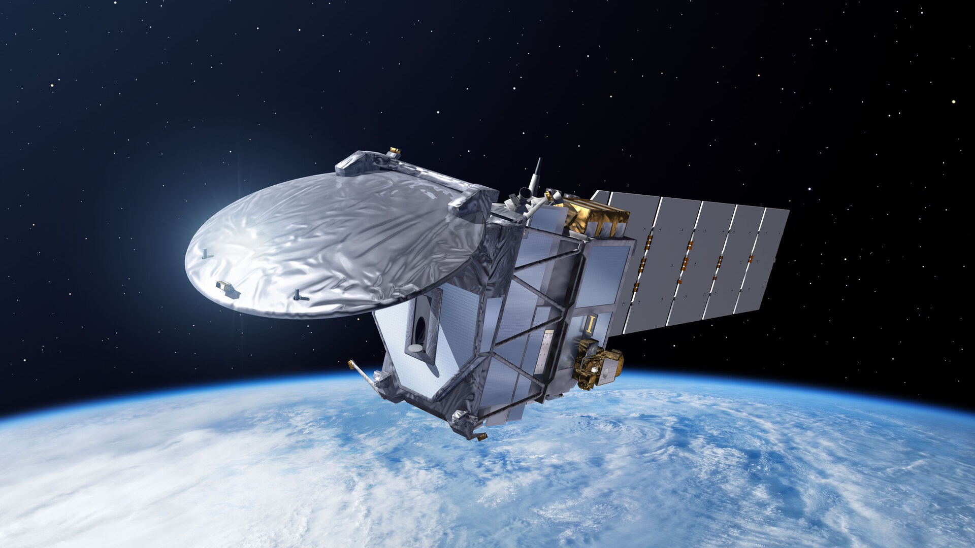
He is referring to the potential embodied in the Earth Cloud, Aerosol and Radiation Explorer (EarthCARE) satellite, launched jointly in May 2024 by the European Space Agency and Japan Aerospace Exploration Agency. EarthCARE is undergoing a commissioning and calibration phase until the end of 2024.
ARM and ACTRIS are among the organizations involved in EarthCARE validation activities. A May 2024 ARM feature details ARM’s role in supporting the EarthCARE mission.
Kollias, a longtime user and creator of ARM observational data, appears as one editor of a recent special issue on EarthCARE published by the journal Atmospheric Measurement Techniques.
“Satellites offer global coverage, but surface observations offer superior resolution, especially in the boundary layer. Understanding the differences between satellite-based and surface-based views of the same clouds is very important.”
Pavlos Kollias, a longtime ARM user evaluating preliminary radar data from the EarthCARE satellite
“Satellites offer global coverage, but surface observations offer superior resolution, especially in the boundary layer,” says Kollias, who works at Brookhaven National Laboratory and Stony Brook University in New York. “Understanding the differences between satellite-based and surface-based views of the same clouds is very important.”
EarthCARE will deliver three-dimensional data on the cloud, radiation, and aerosol properties that underlie climate and weather systems. The platform features a cloud profiling radar, high-spectral-resolution lidar, multispectral imager, and broadband radiometer.
Together, data from these instruments, including planned combined data products, will help scientists evaluate the accuracy of a new generation of kilometer-scale global models.
Fair Comparisons
In 2021, Kollias attended a European Space Agency EarthCARE mission calibration and validation workshop. Based on recommendations from there, he helped develop software that he says allows experimentalists and modelers “to apply the same spatial and time filters on both ground and space observations.”
With such “emulators” on hand, adds Kollias, “you can actually make a fair comparison” between space and ground data. “Every ARM radar data set can be converted to an EarthCARE cloud profiling radar equivalent.”
By July 2024, Kollias had already started evaluating preliminary data from EarthCARE’s cloud profiling radar, which in a 2023 paper he called “the most sensitive ever in orbit.”
Kollias imagines a future marked by algorithm-aided convergence of ground and space data, including a stronger role for ARM with its European ACTRIS and EarthCARE partners.
One glimpse of that future is a small ARM field campaign in Tasmania that starting in October 2024 will provide EarthCARE validation data on precipitation and near-surface clouds.
Slated to last a year at the site of ARM’s Cloud and Precipitation Experiment at kennaook (CAPE-k), the validation campaign will deploy a low-cost, ultra-compact, NASA-funded radar. This instrument will gather cloud, wind, and precipitation data within the lowest 200 meters (656 feet) of the atmosphere, where co-located ARM radars have blind zones.
Looking ahead, “ARM wants to be recognized as the reference place for these kinds of (validation) capabilities,” says Kollias, and for that reason, “it is desirable to continuously generate EarthCARE views at ARM sites.”
Follow Us:


Keep up with the Atmospheric Observer
Updates on ARM news, events, and opportunities delivered to your inbox
ARM User Profile
ARM welcomes users from all institutions and nations. A free ARM user account is needed to access ARM data.


