

B5
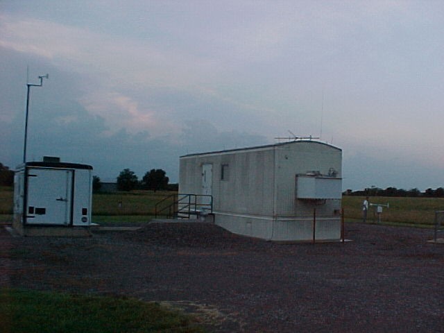
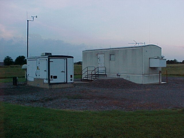
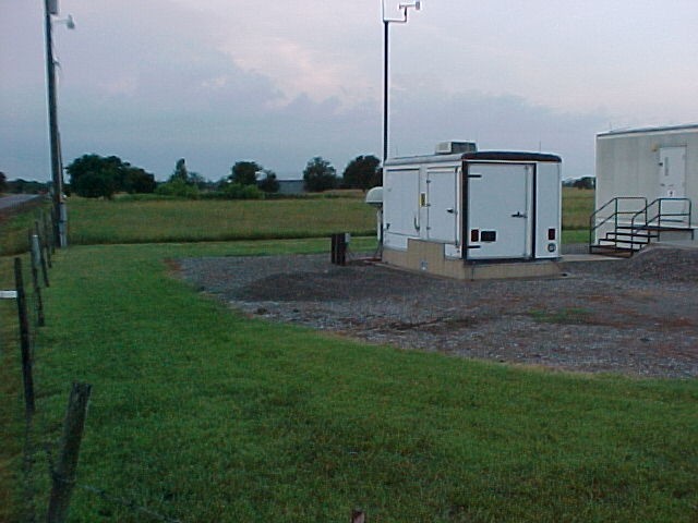
SGP - Morris, OK (Boundary)
Established
1 January 1994
Removed
17 November 2009
Latitude
35.688055°
N
Longitude
95.855277°
W
Altitude
217 meters
Surface Type
Grass
Instruments
6 (0
active)
Primary Measurement Types
11 (0 active)
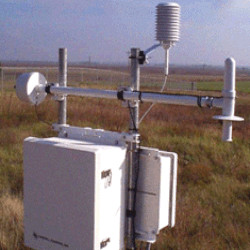
The B5 site is located near Morris, Oklahoma, and the terrain consists of grassy plains.
Click to enlarge images.
 |
|
|
|
|
 |
|
 |
 |
 |
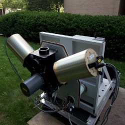
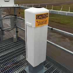
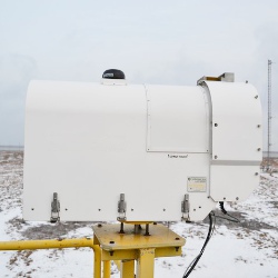
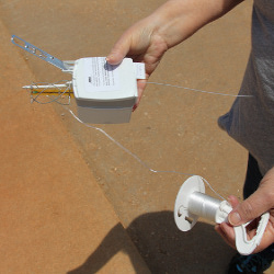
Instruments deployed at SGP - Morris, OK (Boundary)

No instruments currently active
Primary Measurements collected at SGP - Morris, OK (Boundary)
Atmospheric moisture
Browse DataAtmospheric pressure
Browse DataAtmospheric temperature
Browse DataBackscattered radiation
Browse DataCloud base height
Browse DataHorizontal wind
Browse DataLiquid water path
Browse DataLongwave spectral brightness temperature
Browse DataLongwave spectral radiance
Browse DataMicrowave narrowband brightness temperature
Browse DataPrecipitable water
Browse DataNo measurements currently active
Follow Us:


Keep up with the Atmospheric Observer
Updates on ARM news, events, and opportunities delivered to your inbox
ARM User Profile
ARM welcomes users from all institutions and nations. A free ARM user account is needed to access ARM data.


Atmospheric Radiation Measurement (ARM) | Reviewed
March 2025