

ARM Best Estimate Data Now Available for CACTI, COMBLE Campaigns
Published: 17 November 2021
The Atmospheric Radiation Measurement (ARM) user facility provides tailored datastreams known as ARM Best Estimate (ARMBE) data products for use in the evaluation of global earth system models.
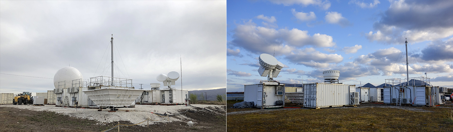
ARMBE data sets are now available for the Cloud, Aerosol, and Complex Terrain Interactions (CACTI) field campaign and the Cold-Air Outbreaks in the Marine Boundary Layer Experiment (COMBLE). CACTI took place from October 2018 through April 2019 in Argentina’s Sierras de Córdoba mountain range. COMBLE ran from December 2019 through May 2020 in northern Norway.
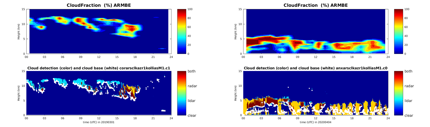
The ARMBE data sets available for both CACTI and COMBLE are ARM Best Estimate Atmospheric Measurements (ARMBEATM) and ARM Best Estimate Cloud Radiation (ARMBECLDRAD). ARMBEATM contains basic atmospheric quantities, and ARMBECLDRAD provides cloud and radiation quantities.
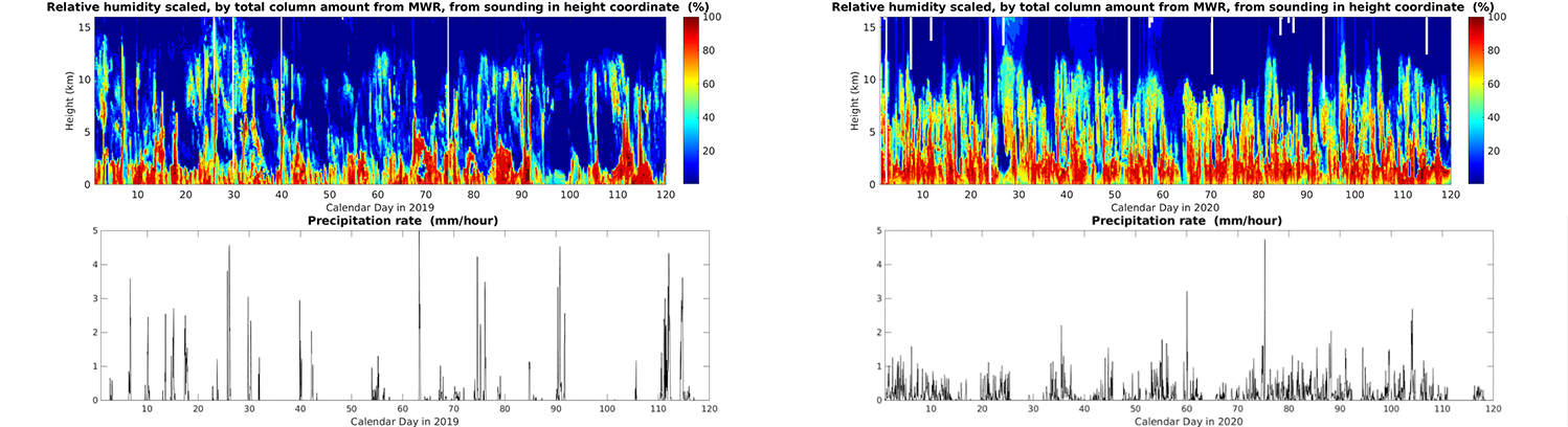
An ARMBE product assembles quantities that are both well observed by ARM over many years and are often used in model evaluation into one data set. ARMBE products consist of hourly averages and thus have temporal resolution comparable to a typical resolution used in earth system model output.
Scientists can use the CACTI and COMBLE ARMBE data sets now. Find more information about ARMBE data products on the ARMBE web page and in Xie et al. (2010).
Feedback and use of the data are always welcomed. If you have questions or suggestions, please contact Yuying Zhang or Shaocheng Xie.
Users can access the ARMBE data sets from the ARM Data Center. (Go here to create an account to download the data.)
To cite the data, please use doi:10.5439/1333748 for ARMBEATM and doi:10.5439/1333228 for ARMBECLDRAD.
Reference: Xie S, RB McCoy, SA Klein, RT Cederwall, WJ Wiscombe, EE Clothiaux, KL Gaustad, J Golaz, S Hall, MP Jensen, KL Johnson, Y Lin, CN Long, JH Mather, RA McCord, SA McFarlane, G Palanisamy, Y Shi, and DD Turner. 2010. “ARM Climate Modeling Best Estimate Data – A new data product for climate studies.” Bulletin of the American Meteorological Society, 91(1), 10.1175/2009bams2891.1.
Follow Us:


Keep up with the Atmospheric Observer
Updates on ARM news, events, and opportunities delivered to your inbox
ARM User Profile
ARM welcomes users from all institutions and nations. A free ARM user account is needed to access ARM data.


