

E19
SGP - El Reno, OK (Extended)
Established
30 May 1997
Removed
23 September 2011
Latitude
35.556867°
N
Longitude
98.015807°
W
Altitude
415 meters
Surface Type
Pasture (Ungrazed)
Instruments
5 (0
active)
Primary Measurement Types
17 (0 active)
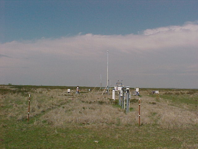
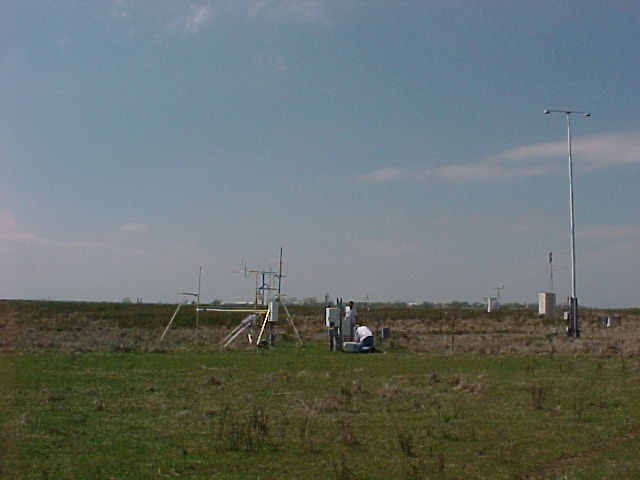
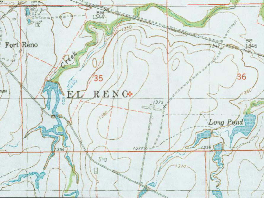
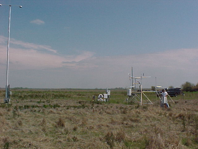
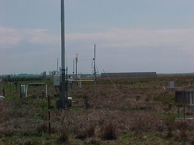
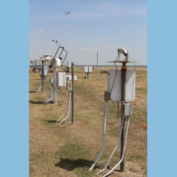
The E19 site is located near El Reno, Oklahoma, and the area consists of ungrazed pastures.
Click to enlarge images.
 |
 |
|
 |
 |
 |
|
|
 |
|
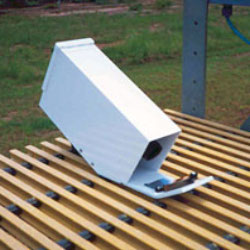
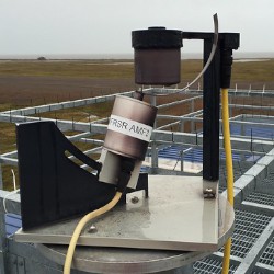
Instruments deployed at SGP - El Reno, OK (Extended)
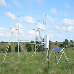
sirs
Solar and Infrared Radiation Station for Downwelling and Upwelling Radiation
1998-07-08 — 2011-05-23
Browse Data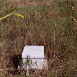
No instruments currently active
Primary Measurements collected at SGP - El Reno, OK (Extended)
Latent heat flux
Browse DataLongwave broadband downwelling irradiance
Browse DataLongwave broadband upwelling irradiance
Browse DataLongwave narrowband brightness temperature
Browse DataNet broadband total irradiance
Browse DataPrecipitation
Browse DataSensible heat flux
Browse DataShortwave broadband diffuse downwelling irradiance
Browse DataShortwave broadband direct normal irradiance
Browse DataShortwave broadband total downwelling irradiance
Browse DataShortwave broadband total upwelling irradiance
Browse DataShortwave narrowband diffuse downwelling irradiance
Browse DataShortwave narrowband direct normal irradiance
Browse DataShortwave narrowband total downwelling irradiance
Browse DataSoil heat flux
Browse DataSoil moisture
Browse DataSoil temperature
Browse DataNo measurements currently active
Follow Us:


Keep up with the Atmospheric Observer
Updates on ARM news, events, and opportunities delivered to your inbox
ARM User Profile
ARM welcomes users from all institutions and nations. A free ARM user account is needed to access ARM data.


Atmospheric Radiation Measurement (ARM) | Reviewed
March 2025