

C1
NSA - Central Facility, Barrow AK
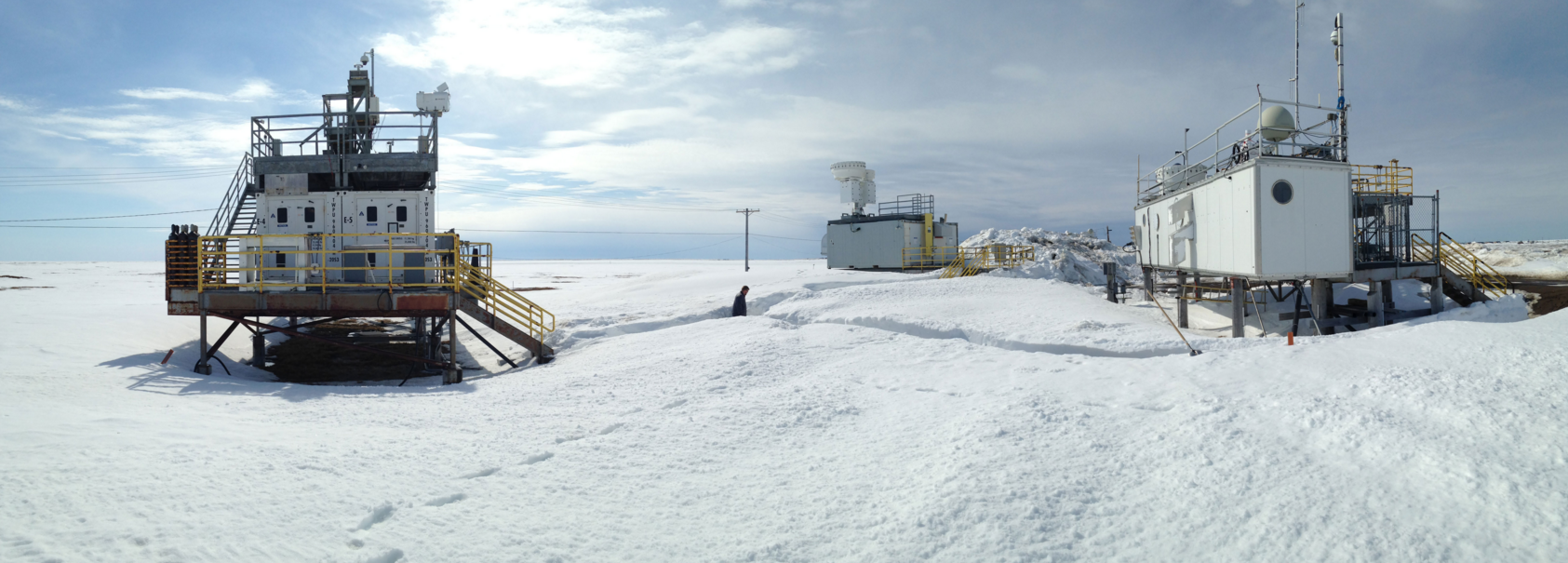
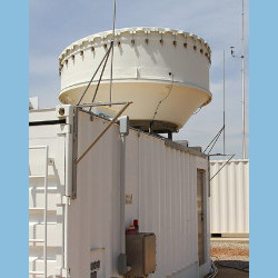
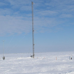
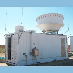
The C1 facility, located near the city of Barrow, officially known as Utqiaġvik, Alaska, was installed in July 1997. Utqiaġvik is located at the northernmost point in the United States, 330 miles north of the Arctic Circle.
Also known as the “Top of the World,” Utqiaġvik is Alaska’s largest Eskimo village. Tax revenue from the local oil fields pays for services boroughwide, and natural gas is used to heat homes and generate electricity in Utqiaġvik. Many residents maintain traditional lifestyles. Subsistence foods include whale, seal, polar bear, walrus, duck, caribou, grayling, and whitefish.
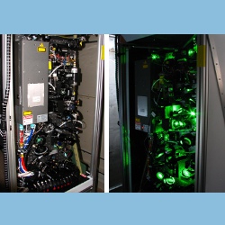
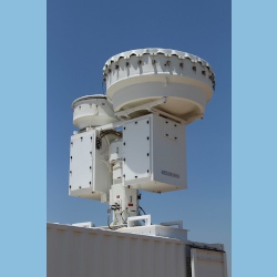
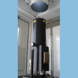
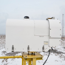
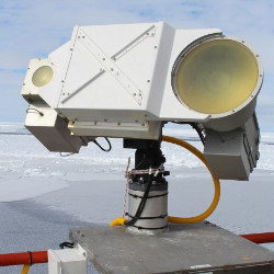
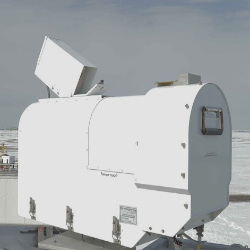
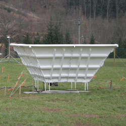
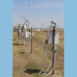
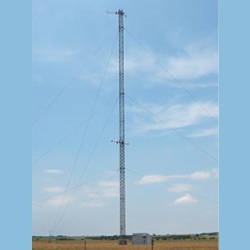
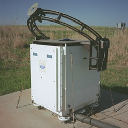
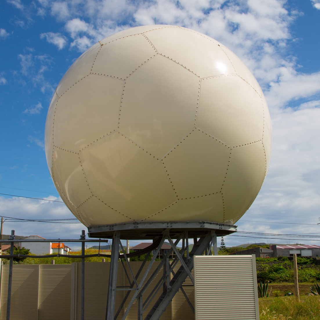
The Utqiaġvik facility includes a trailer and several platforms to support the instrumentation and data system. ARM operates many of the same instruments, including a 35 GHz cloud radar, that are located at its warmer sites. However, many of these instruments have been hardened to withstand frigid temperatures ranging from -20 to 40 °F.
Click to enlarge images.
|
|
|
|
|


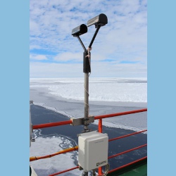
Instruments deployed at NSA - Central Facility, Barrow AK
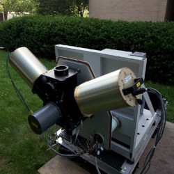


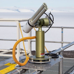
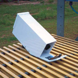
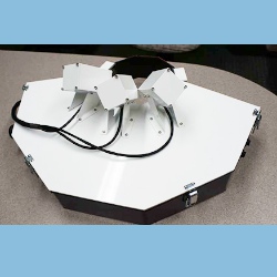
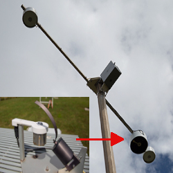
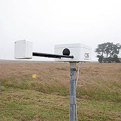
gndrad
Ground Radiometers on Stand for Upwelling Radiation
1998-04-06 — Currently Deployed
Browse Data

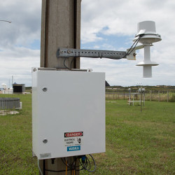
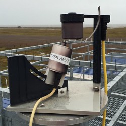

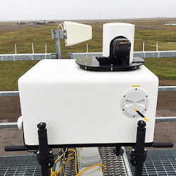
sirs
Solar and Infrared Radiation Station for Downwelling and Upwelling Radiation
2024-07-18 — Currently Deployed
Browse Data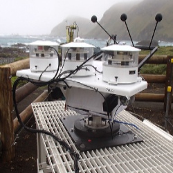
skyrad
Sky Radiometers on Stand for Downwelling Radiation
1998-02-14 — Currently Deployed
Browse Data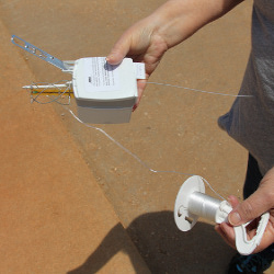


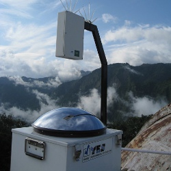
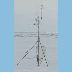
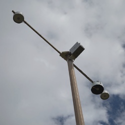
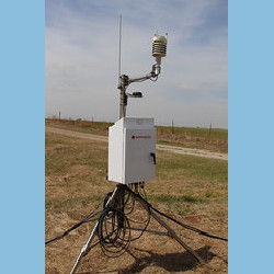
twr
Facility-specific multi-level Meteorological Instrumentation
2003-10-31 — Currently Deployed
Browse Data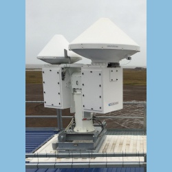
Primary Measurements collected at NSA - Central Facility, Barrow AK
Aerosol extinction
Browse DataAerosol optical depth
Browse DataAerosol optical properties
Browse DataAtmospheric moisture
Browse DataAtmospheric pressure
Browse DataAtmospheric temperature
Browse DataBackscatter depolarization ratio
Browse DataBackscattered radiation
Browse DataCloud base height
Browse DataCloud fraction
Browse DataConvection
Browse DataHorizontal wind
Browse DataHydrometeor Size Distribution
Browse DataHydrometeor concentration
Browse DataHydrometeor fall velocity
Browse DataHydrometeor image
Browse DataInstrument monitoring non-geophysical variables
Browse DataLidar Doppler
Browse DataLidar polarization
Browse DataLiquid water content
Browse DataLiquid water path
Browse DataLongwave broadband downwelling irradiance
Browse DataLongwave broadband upwelling irradiance
Browse DataLongwave narrowband brightness temperature
Browse DataLongwave spectral brightness temperature
Browse DataLongwave spectral radiance
Browse DataMicrowave narrowband brightness temperature
Browse DataParticle number concentration
Browse DataParticle size distribution
Browse DataPlanetary boundary layer height
Browse DataPrecipitable water
Browse DataPrecipitation
Browse DataRadar Doppler
Browse DataRadar polarization
Browse DataRadar reflectivity
Browse DataShortwave broadband diffuse downwelling irradiance
Browse DataShortwave broadband direct normal irradiance
Browse DataShortwave broadband total downwelling irradiance
Browse DataShortwave broadband total upwelling irradiance
Browse DataShortwave narrowband diffuse downwelling irradiance
Browse DataShortwave narrowband diffuse upwelling irradiance
Browse DataShortwave narrowband direct normal irradiance
Browse DataShortwave narrowband radiance
Browse DataShortwave narrowband total downwelling irradiance
Browse DataShortwave spectral radiance
Browse DataSnow depth
Browse DataSoil moisture
Browse DataSoil temperature
Browse DataSurface skin temperature
Browse DataVertical velocity
Browse DataVirtual temperature
Browse DataVisibility
Browse DataFollow Us:


Keep up with the Atmospheric Observer
Updates on ARM news, events, and opportunities delivered to your inbox
ARM User Profile
ARM welcomes users from all institutions and nations. A free ARM user account is needed to access ARM data.


