Heartfelt Goodbye to Manus Island
Published: 27 August 2014

After 18 years, the U.S. Department of Energy’s ARM observation site at Manus Island is closed, but the data results will live on. Observations from Manus–freely available in the ARM Data Archive–will play a significant role for many years to come, especially as scientists improve their understanding of the tropical regime.
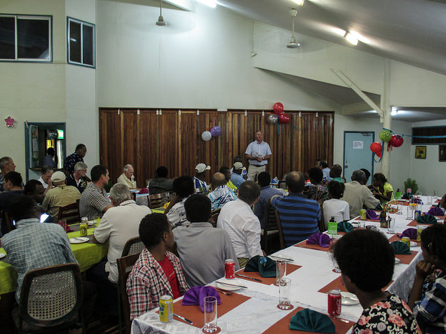
On July 24, the Tropical Western Pacific (TWP) team enjoyed an evening reception honoring the many people who were instrumental in operating the site through the years. Kim Nitschke, from Los Alamos National Laboratory, led the closeout activities in his role as oversight manager for ARM Facilities in the TWP, including Manus. In recognition of all the partnerships, teamwork, data, and memories collected in Papua New Guinea, Nitschke presented plaques and heartfelt thanks to Sam Maiha, Papua New Guinea’s National Weather Service Director, for the local team.

“I want to thank Kim Nitschke and his team at LANL for their operations of the site and their excellent work in safely closing down the site and packing up and shipping out all of the instruments,” said Sally McFarlane, U.S. Department of Energy’s ARM Facility Program Manager. “The LANL team met the challenge with their usual competence and success.”
Looking Back
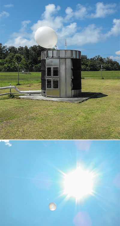
Beginning in 1996, discussions and negotiations to establish an ongoing U.S. scientific presence on the island of Manus were initiated with the Papua New Guinea government. This agreement included training and employment of local individuals to operate and maintain the site, launching of meteorological balloons, open sharing of data, and engagement with the secondary education program.
“Manus provided the longest set of concurrent scientific quality ground-based measurements of cloud and radiation properties available in the Tropical Western Pacific, outside of Australia,” said Chuck Long, a researcher at Pacific Northwest National Laboratory and the science leader for ARM’s TWP sites. Long provided key data findings during his tenure as site scientist.

Key Data Findings
Manus is deeply embedded in the middle of the warm pool region, a location that is always embedded in abundant convection all the time. Thus, providing data that has led to key scientific findings related to cloud radiative impacts.
“By having facilities at both Manus and Nauru, ARM has been able to determine that both places see the same types of clouds, but the mix of how many of each type differs between the two sites,” said Long.
During El Niño the cloud types and occurrence are similar between the two equatorial sites. But during La Niña, the Nauru site allowed ARM to collect data on a “popcorn cumulus” regime not seen at Manus, yet prevalent at times over large areas of the tropical oceans. Nevertheless, having two equatorial sites, plus Darwin, allowed scientists to determine that each different cloud type has similar characteristics and effects on the surface radiation no matter where they occur in the tropics.
“This is important because we cannot afford to put surface sites everywhere,” states Long. “For one thing, there’s not land everywhere to put them on! But also the cost is prohibitive.”
Satellite coverage over the entire globe fills the gaps. If scientists can determine cloud types from satellite, then what they have learned about the characteristics and surface radiative effects by cloud type will allow them to broaden observational abilities across the Pacific basin. This would not be possible without the long-term detailed observations gathered by the ARM TWP sites, like Manus.
Long could not attend the reception in person, but asked Nitschke to pass along his sincere thanks to all—including the people of Manus.
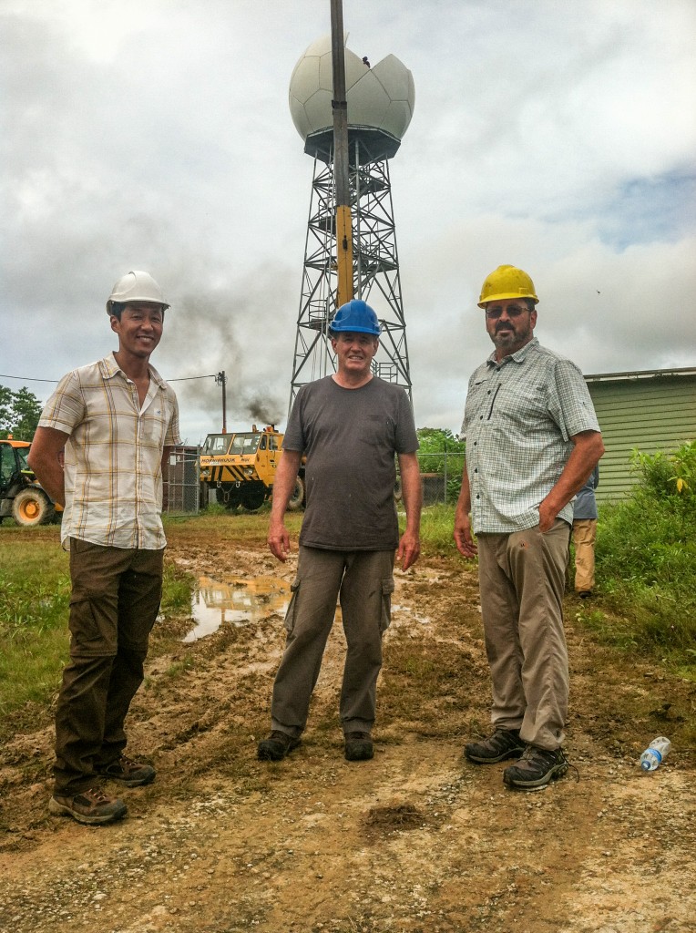
Site operations and data collection officially ended on July 7, 2014. More photos of the site and closing activities are available in Flickr.
The ARM Climate Research Facility is a DOE Office of Science user facility. The ARM Facility is operated by nine DOE national laboratories, including .
Keep up with the Atmospheric Observer
Updates on ARM news, events, and opportunities delivered to your inbox
ARM User Profile
ARM welcomes users from all institutions and nations. A free ARM user account is needed to access ARM data.


