

Navigation Best Estimate Value-Added Product Released
Published: 27 April 2015
Developed in response to the first ship-based deployment of the second ARM Mobile Facility (AMF2), the Navigation Best Estimate (NAVBE) Value-Added Product (VAP) has been released for evaluation. Meteorological, cloud, and aerosol measurements were collected during nearly 20 round trips of the container ship, Horizon Spirit, between Los Angeles, CA, and Honolulu, HI, from September 2012 to October 2013 during the Marine ARM GPCI Investigation of Clouds (MAGIC)* field campaign.
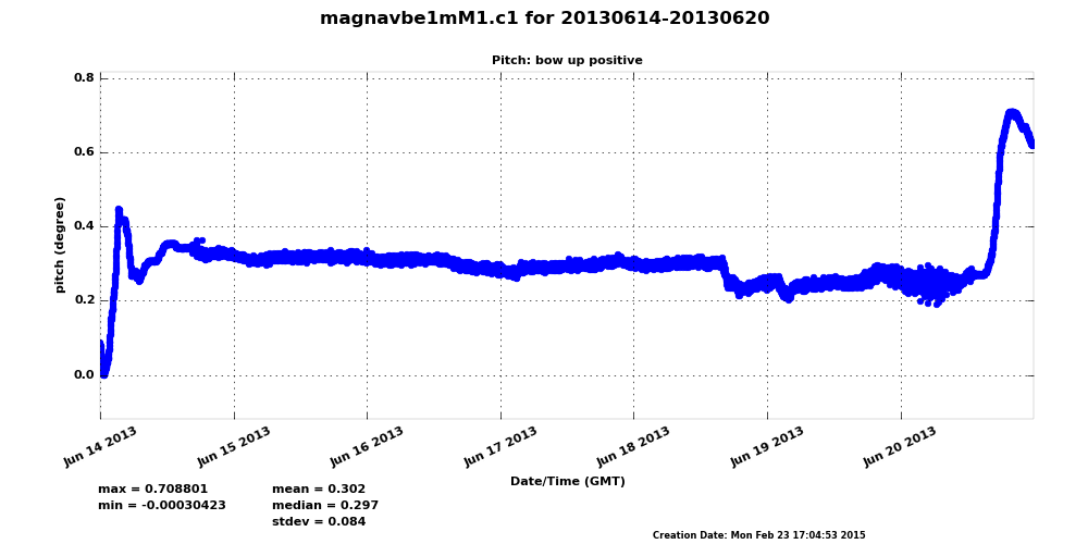
A number of different instruments on the ship collected Global Positioning System (GPS) and Inertial Navigation System (INS) measurements during the MAGIC campaign. The purpose of the NAVBE VAP is to consolidate many different sources of these measurements in a single, continuous datastream—rather than approximately a dozen different datastreams—to be used when information is required about ship location and orientation and to provide a more complete estimate than would be available from any one instrument. The result is a datastream that contains ship position and attitude (tilts of the vessel’s frame) at a 10Hz-time resolution, with an additional 1-minute datastream presenting mean ship INS and GPS measurements.
Currently in evaluation mode, the NAVBE data set is available for comments and feedback. Evaluation data are available for a select number of MAGIC deployment days. Additional analysis, due to large data gaps and instrument measurement differences, is needed for the days that have not yet been released. Approximately two-thirds of the deployment is found in the ARM Data Archive’s evaluation area at this time.
For questions or to report data problems, please contact Mike Jensen. To access the NAVBE data set, visit the NAVBE evaluation product page or browse the ARM Data Archive. (Request an account here to download the data.)
*Note:
- GPCI = GCSS Pacific Cross-section Intercomparison, a working group of GCSS
- GCSS = GEWEX Cloud Systems Study
- GEWEX = Global Energy and Water Cycle Experiment, a core project of the World Climate Research Programme.
# # #
The ARM Climate Research Facility is a national scientific user facility funded through the U.S. Department of Energy’s Office of Science. The ARM Facility is operated by nine Department of Energy national laboratories.
The ARM Climate Research Facility is a DOE Office of Science user facility. The ARM Facility is operated by nine DOE national laboratories, including .
Follow Us:


Keep up with the Atmospheric Observer
Updates on ARM news, events, and opportunities delivered to your inbox
ARM User Profile
ARM welcomes users from all institutions and nations. A free ARM user account is needed to access ARM data.


