

Processing of Doppler Lidar Wind Product Temporarily Shifts at SGP
Published: 3 July 2025
Additional data from the Doppler Lidar Wind value-added product (DLPROF-WIND VAP) are now available from the Southern Great Plains (SGP) atmospheric observatory because of a temporary change in instrument operations.
In October 2023, the Atmospheric Radiation Measurement (ARM) User Facility began operating two Doppler lidars that are colocated at the SGP Central Facility (C1) and extended facility E13 near Lamont, Oklahoma. The C1 Doppler lidar performs continuous high-frequency wind profiling, while the E13 Doppler lidar is dedicated to high-frequency vertical staring to produce vertical velocity statistics. The two systems are currently side by side with less than a foot separating them.
On April 15, 2024, the C1 Doppler lidar experienced a failure. It was ultimately sent back to the vendor for repair. To maintain the wind measurements, the scan schedule for the E13 Doppler lidar was modified to include wind profile scans once every 15 minutes.
After the C1 Doppler lidar was repaired, it returned to service as of December 17, 2024. That day, the E13 Doppler lidar resumed its regular vertical staring scan schedule.
Consequently, the DLPROF-WIND VAP processed data from the E13 Doppler lidar for the period from May 9 to December 17, 2024. The VAP has since resumed processing at C1.
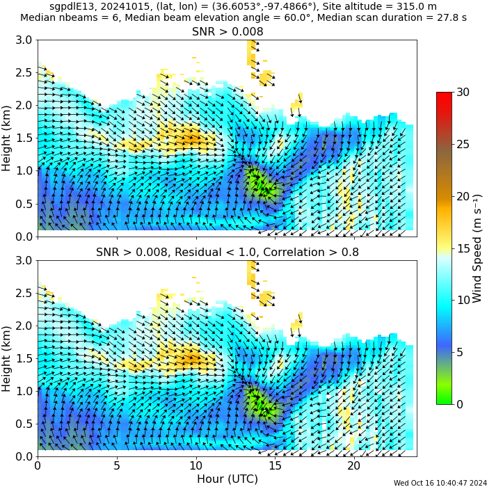
DLPROF-WIND calculates profiles of horizontal winds from Doppler lidar plan position indicator scans, which are performed several times per hour. These routine wind measurements are important for understanding atmospheric boundary-layer processes, and they can be used in model initialization, assimilation, or validation.
Scientists can access the DLPROF-WIND data for SGP C1 and E13 in the ARM Data Center. (To download the data, first create an ARM account.)
More information about DLPROF-WIND, including the technical report, can be found on the VAP web page. For questions about the VAP, please contact ARM translator Damao Zhang, ARM Doppler lidar instrument mentor Rob Newsom, or VAP developer Gabriel Gibler.
To cite the DLPROF-WIND data, please use doi:10.5439/1178582.
Follow Us:


Keep up with the Atmospheric Observer
Updates on ARM news, events, and opportunities delivered to your inbox
ARM User Profile
ARM welcomes users from all institutions and nations. A free ARM user account is needed to access ARM data.


