

TRACER-Model Intercomparison Project Team Makes Headway
Published: 26 July 2024
Editor’s note: Jiwen Fan and Stephen Saleeby, who lead the TRacking Aerosol Convection interactions ExpeRiment-Model Intercomparison Project (TRACER-MIP), provided the following blog post.
MIPs are community research projects in which multiple modeling groups compare the results of their models under standardized conditions. These projects are designed to assess the performance, reliability, and variability of different models that simulate complex systems, such as clouds, climate, and weather.
MIPs are important because they provide a way to systematically compare model outputs against each other and against observational data. This helps identify consistent patterns and discrepancies. By highlighting the strengths and weaknesses of different models, MIPs guide researchers in refining and improving model algorithms and parameterizations, and they help identify how sensitive different models are to various inputs and assumptions. This understanding is critical for improving model robustness and reliability, and it fosters collaboration and knowledge exchange among different research groups, leading to scientific advancements.
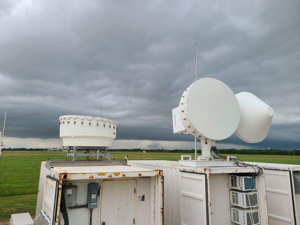
Our MIP is based on observed cases in the Houston, Texas, region from ARM’s 2021–2022 TRACER field campaign. TRACER-MIP focuses on understanding the interactions between aerosols and convection, which are critical processes in weather and climate systems. The objectives of this MIP are to (1) identify each model’s deficiencies and measure model performances and (2) examine factors/processes leading to model biases and large model spread. This effort will ultimately help reduce the uncertainty in aerosol-cloud interactions.
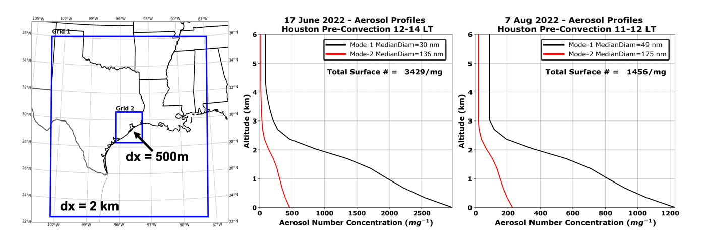
We selected two “golden” convective cases from the TRACER field campaign and simulated both cases to decide model setups in experimental design, model domain, resolution, initial and boundary conditions, and model output variables and frequencies. Observations provided by the TRACER aerosol teams equipped us to establish case-specific initial aerosol concentration, vertical profiles, and hygroscopicity necessary to perform the MIP control and sensitivity simulations.
Anyone can participate in TRACER-MIP by producing model results that follow the protocols set in our MIP documentation (roadmap). The most recent roadmap was presented at the Aerosol, Cloud, Precipitation, and Climate (ACPC) Workshop in May 2024. We will post a formal version of the roadmap to call for community participation and collect model output from participants. In addition, we have talked with the organizers of the World Meteorological Organization International Cloud Modeling Workshop (ICMW) about setting up a TRACER case for the 12th ICMW in 2028.
We are looking forward to working with numerous modeling teams across the atmospheric science community with a common goal toward improving our understanding of model variability and aerosol-convection interactions.
Fan is from Argonne National Laboratory, and Saleeby is at Colorado State University.
Follow Us:


Keep up with the Atmospheric Observer
Updates on ARM news, events, and opportunities delivered to your inbox
ARM User Profile
ARM welcomes users from all institutions and nations. A free ARM user account is needed to access ARM data.


