

AGU Scoop: Data and Impressions From MOSAiC
Published: 16 December 2020
Imagine, if you can:
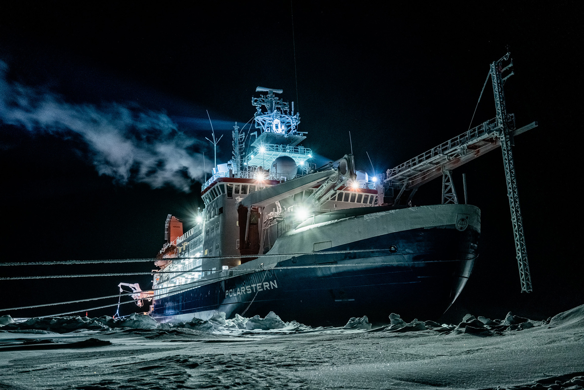
One year moored to an ice floe in the central Arctic. Scientists from 20 nations. Twenty arctic typhoons. Polar bears. Miles-long cracks in sea ice and fantastical ice ridges. Snow as fragile as dry leaves. Donning a floating monosuit and learning to swim in freezing water. At least 150 terabytes of data on conditions in the arctic atmosphere, sea ice, and ocean.
What’s not to like about the yearlong Multidisciplinary Drifting Observatory for the Study of Arctic Climate (MOSAiC) expedition? It wrapped up in October 2020, but scientists will draw on its data for years. In the spring of 2021, a spate of summary papers will arrive, and in three years or less, global earth system models will be sharpened by MOSAiC results.
“MOSAiC is the cutting edge of important research,” said Matthew Shupe, a senior research scientist with the Cooperative Institute for Research in Environmental Sciences and a co-organizer of the expedition.
Shupe, who specializes in clouds and the surface energy budget in polar realms, joined a sea ice expert, ecologist, ocean modeler, and others in an hourlong press roundtable during the 2020 American Geophysical Union (AGU) Fall Meeting on December 15. On that date a year earlier, researchers on Leg 1 of the expedition had already plunged into what would be four months of polar night.
“We have a whole community of international modelers just waiting anxiously for data to be packaged for them.”
Matthew Shupe, MOSAiC co-coordinator
The disciplinary diversity of the panel reflected the wide scope of the science mission during MOSAiC.
Shupe praised the rich and rare data gathered by MOSAiC scientists.
“We have a whole community of international modelers just waiting anxiously for data to be packaged for them,” he said.
That community of modelers includes those associated with the Year of Polar Prediction, the main activity of a 10-year (2013–2022) project led by the World Meteorological Organization. It brings together operational modeling centers around the world, each with an intense interest in the Arctic.
“We’re pulling together data for that community from MOSAiC” and for everyone else too, said Shupe, the principal investigator for ARM’s part in the expedition.
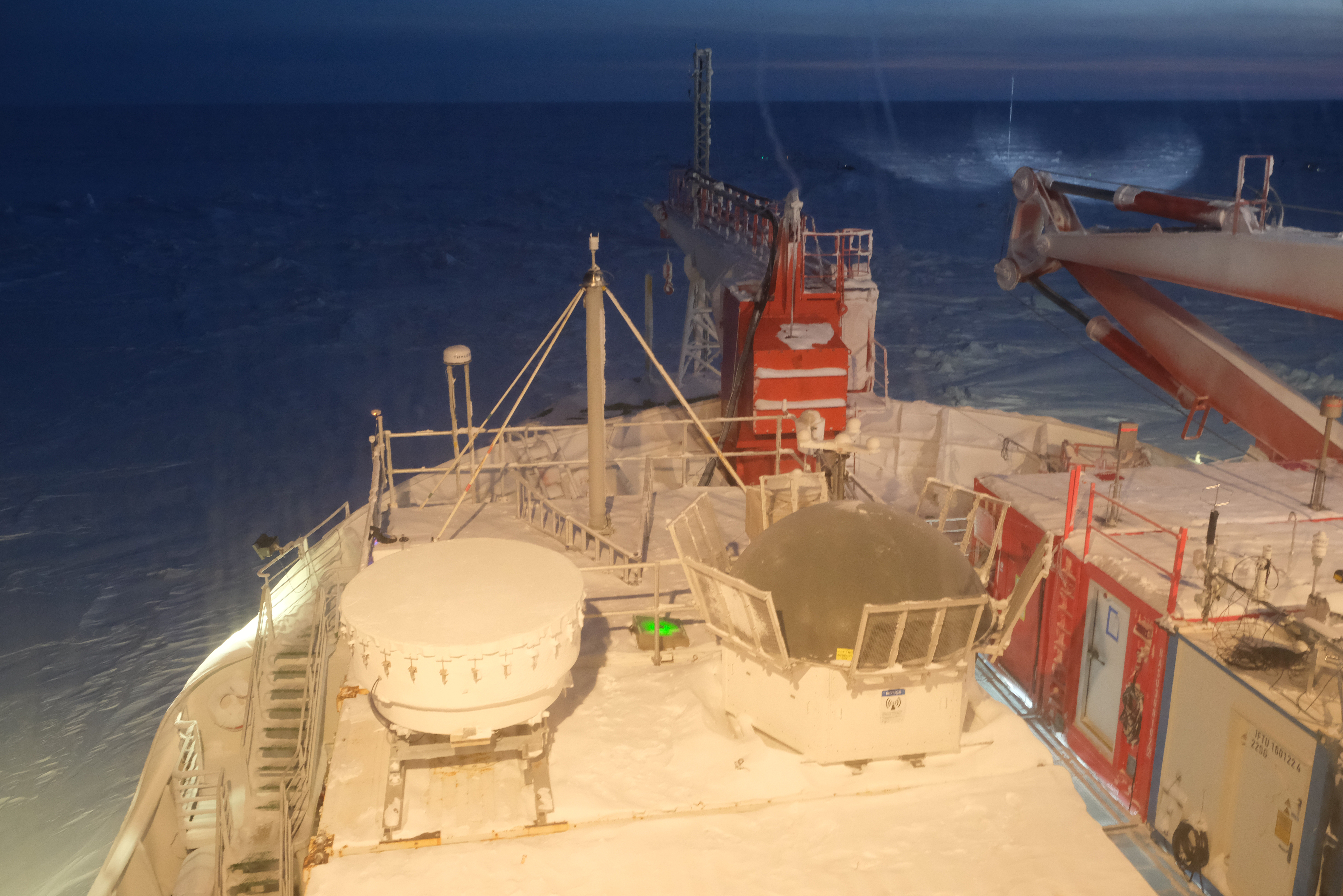
Aboard the mother ship, the German research icebreaker R/V Polarstern, was the second ARM Mobile Facility. Other ARM instruments were out on the ice in MOSAiC’s distributed network of gear for data collection.
Measured by terabytes, said Shupe previously, ARM data were expected to be the most voluminous collected during MOSAiC.
With big data as a driver, better global models are the ultimate end goal, said panelist and expedition leader Markus Rex of the Alfred Wegener Institute in Germany.
Rex also acknowledged the emotions MOSAiC elicited.
“We brought back data,” he said, “but we also brought back our impressions.”
For one, added Rex, “everybody has been surprised how fast the sea ice is disappearing.”
Panelist Melinda Webster, a sea ice researcher at the University of Alaska, Fairbanks, noted that of the last 42 years of satellite imagery of arctic sea ice extent, the last 14 years have been record-breaking minimums.
This vivid record of this ice-cover decline, she said, “places into context how rapid the changes are in the Arctic.”
–Contributions from ARM science writer Corydon Ireland
Planning your AGU schedule? Get more information about ARM-focused AGU presentations.
Follow Us:


Keep up with the Atmospheric Observer
Updates on ARM news, events, and opportunities delivered to your inbox
ARM User Profile
ARM welcomes users from all institutions and nations. A free ARM user account is needed to access ARM data.


