

PCCP
Stereo Reconstructed Point Cloud of Cloud Points (PCCP)
Baseline VAP, Guest
The Point Cloud of Cloud Points (PCCP) value-added product is essentially a set of three-dimensional positions representing the locations of cloud features captured by stereo pairs. A stereo pair is a pair of cameras that take synchronized pictures with overlapping fields of view (FOV).
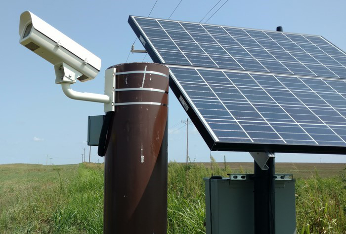
Currently, three stationary ARM stereo pairs are positioned around the Southern Great Plains Central Facility. Thousands of cloud features can be instantly reconstructed in each stereo pair’s FOV, which covers an area of tens of square kilometers.
Cloud-base and cloud-top heights, the structure of cloud boundaries, and cloud-level horizontal velocities can be extracted from the PCCP product.
You can use this Python script to plot instantaneous PCCP data.
PCCP field campaign data sets are also available. A pair of ARM cloud digital cameras is being used for mobile deployments.
Primary Derived Measurements
Contact
View all contacts-
Rusen OktemVAP Contact University of California, Berkeley
Related Data Announcements
Locations
Follow Us:


Keep up with the Atmospheric Observer
Updates on ARM news, events, and opportunities delivered to your inbox
ARM User Profile
ARM welcomes users from all institutions and nations. A free ARM user account is needed to access ARM data.


