

C2
NSA - Central Facility, Atqasuk AK
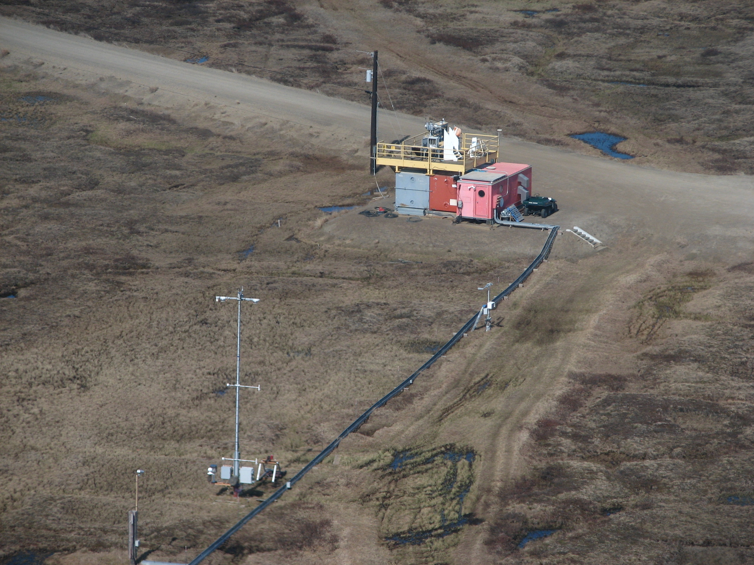
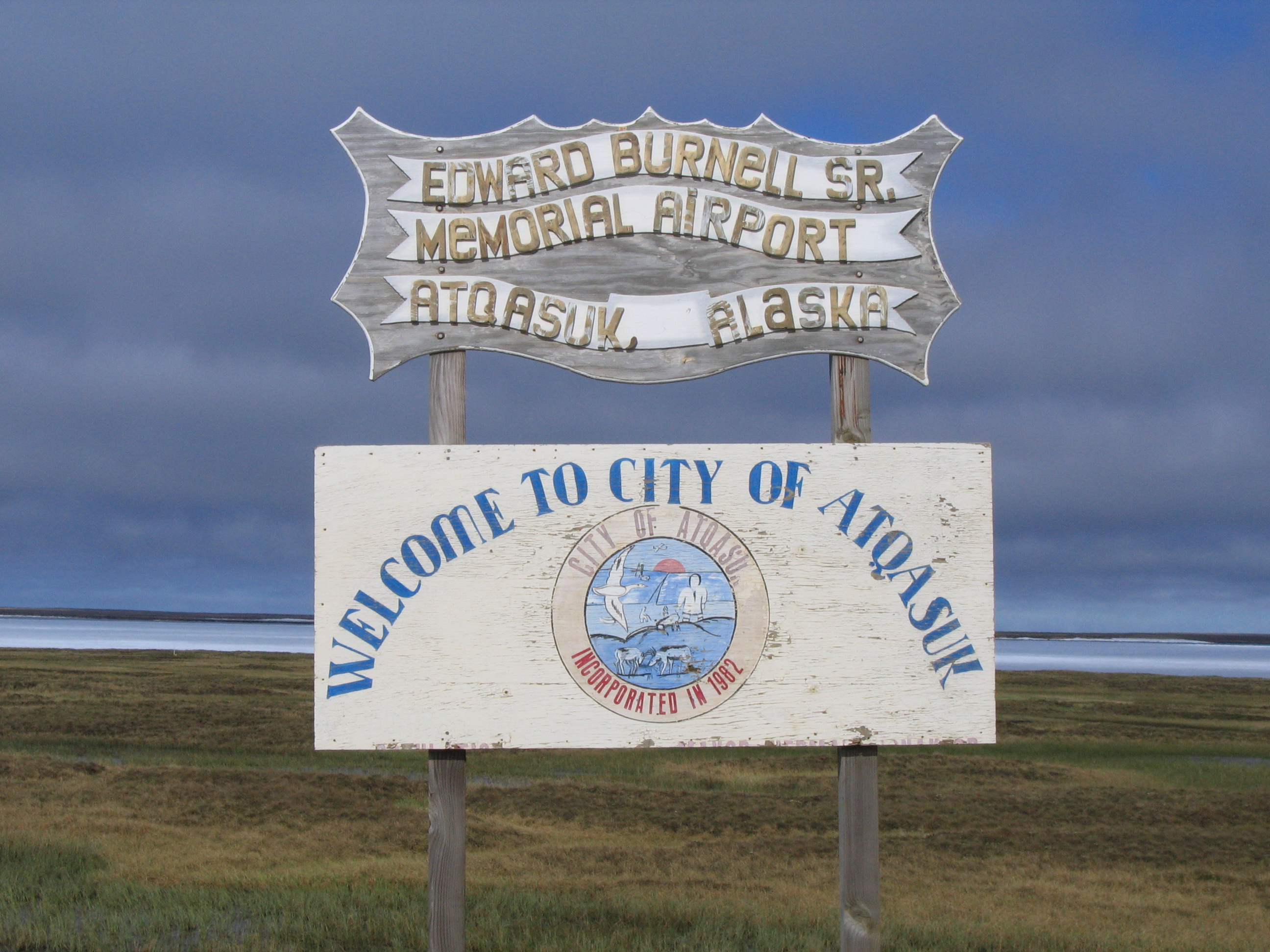
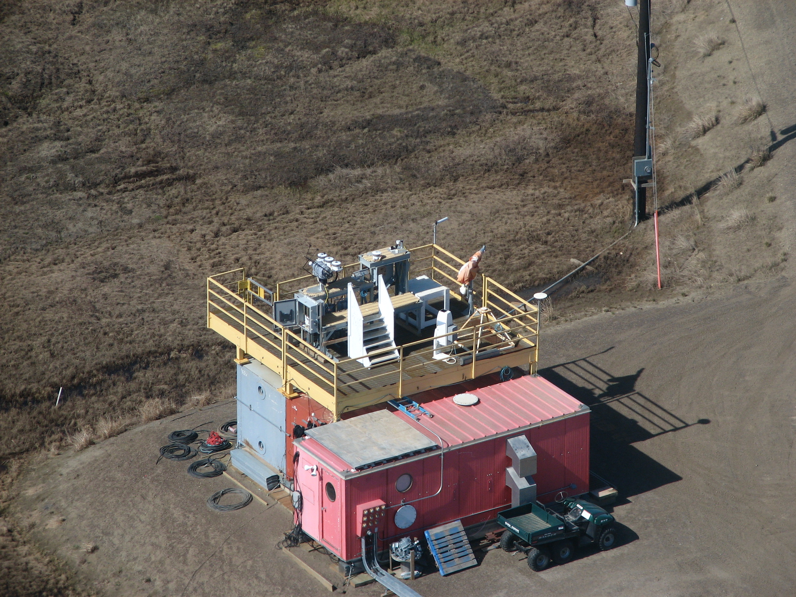
The Atqasuk facility, which was part of the larger ARM North Slope of Alaska (NSA) observatory, was installed in the summer of 1999 off of a road near the Atqasuk Airport and operated through 2010. Located approximately 70 miles south of Utqiaġvik (formerly Barrow), Atqasuk is adjacent to the Meade River.
Atqasuk has an economy that is largely based on subsistence fishing and caribou hunting. The community infrastructure includes a store, gas station, school, health clinic, firehouse, community center, power plant, water plant, and airport. Travel to and from Atqasuk is typically by scheduled bush airline. There are at least four scheduled flights to and from Atqasuk from Utqiaġvik each day. Local people also travel by snow machine.
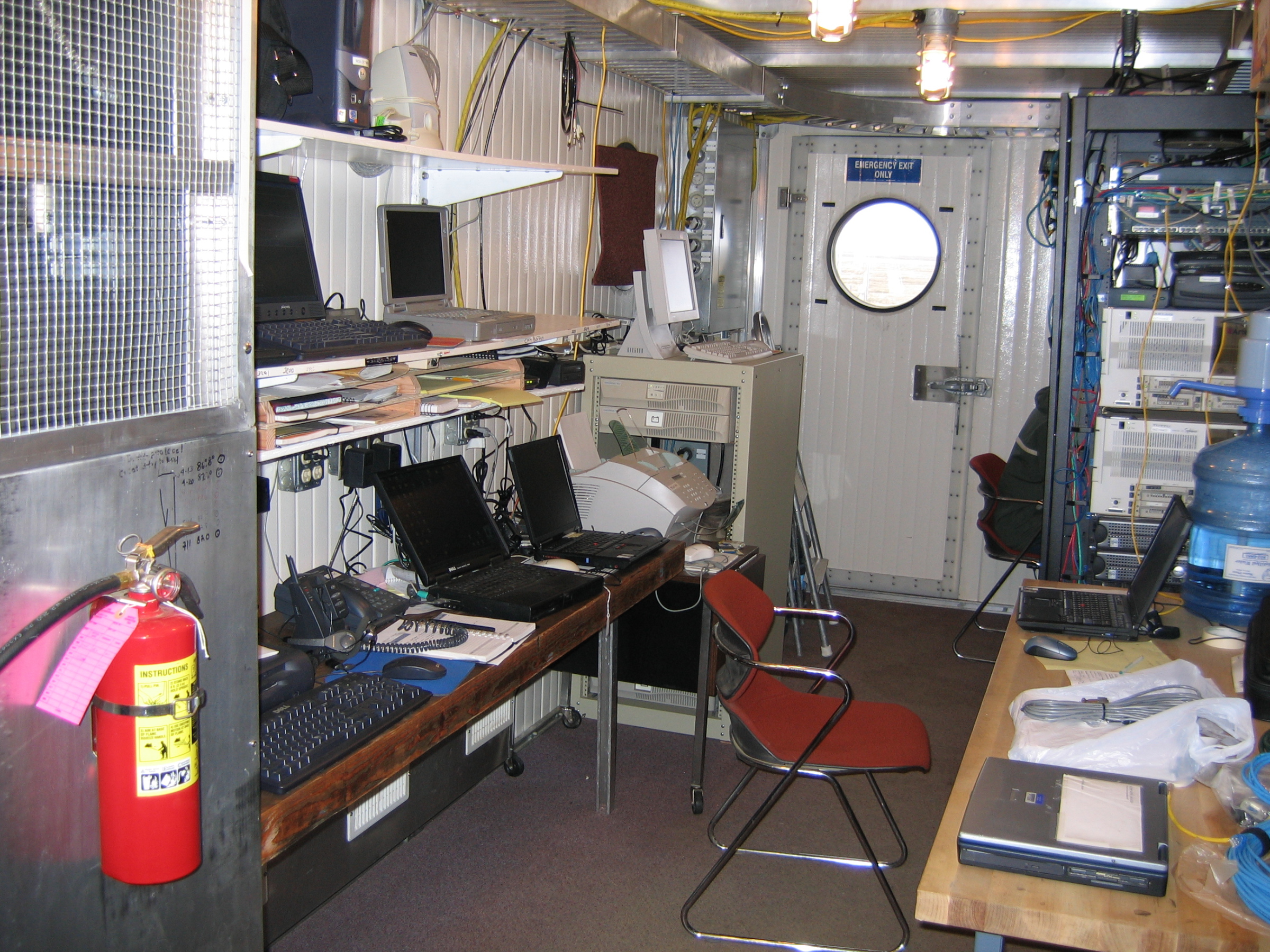
With no landlines running to Atqasuk (or to Utqiaġvik for that matter), this meant that all communications, both voice and data, were through commercially supplied satellite links. Data were transferred through a 56K line, which was sufficient for the instrumentation bandwidth load.
Click to enlarge images.
|
|
 |
|
|
|
|
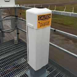
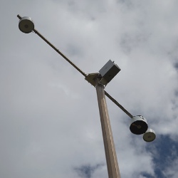
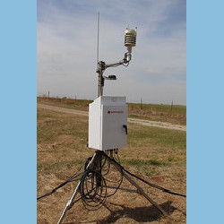
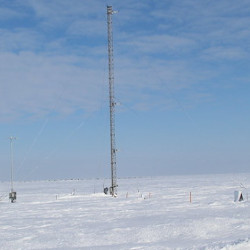
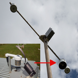
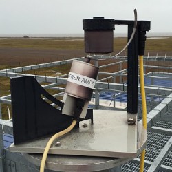
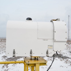
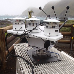
Instruments deployed at NSA - Central Facility, Atqasuk AK

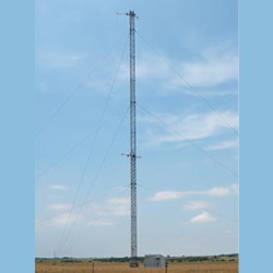
twr
Facility-specific multi-level Meteorological Instrumentation
2003-11-06 — 2011-01-17
Browse Data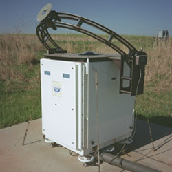
No instruments currently active
Primary Measurements collected at NSA - Central Facility, Atqasuk AK
Atmospheric moisture
Browse DataAtmospheric pressure
Browse DataAtmospheric temperature
Browse DataBackscattered radiation
Browse DataCloud base height
Browse DataCloud fraction
Browse DataHorizontal wind
Browse DataInstrument monitoring non-geophysical variables
Browse DataLiquid water path
Browse DataLongwave broadband downwelling irradiance
Browse DataLongwave broadband upwelling irradiance
Browse DataMicrowave narrowband brightness temperature
Browse DataPrecipitable water
Browse DataPrecipitation
Browse DataShortwave broadband diffuse downwelling irradiance
Browse DataShortwave broadband direct normal irradiance
Browse DataShortwave broadband total downwelling irradiance
Browse DataShortwave broadband total upwelling irradiance
Browse DataShortwave narrowband diffuse downwelling irradiance
Browse DataShortwave narrowband diffuse upwelling irradiance
Browse DataShortwave narrowband direct normal irradiance
Browse DataShortwave narrowband total downwelling irradiance
Browse DataVisibility
Browse DataNo measurements currently active
Follow Us:


Keep up with the Atmospheric Observer
Updates on ARM news, events, and opportunities delivered to your inbox
ARM User Profile
ARM welcomes users from all institutions and nations. A free ARM user account is needed to access ARM data.


