

Power Your Research with ARM
The U.S. Department of Energy’s Atmospheric Radiation Measurement (ARM) User Facility provides 30-plus years of atmospheric measurements, including data sets from all seven continents and five oceans, to advance the understanding of the Earth’s atmosphere.
Access ARM Data
ARM collects continuous measurements and develops data products that promote the advancement of earth system models.
New to ARM?
As a U.S. Department of Energy Office of Science user facility, ARM makes its data freely available to scientists around the world.
Use ARM Facilities for Your Research
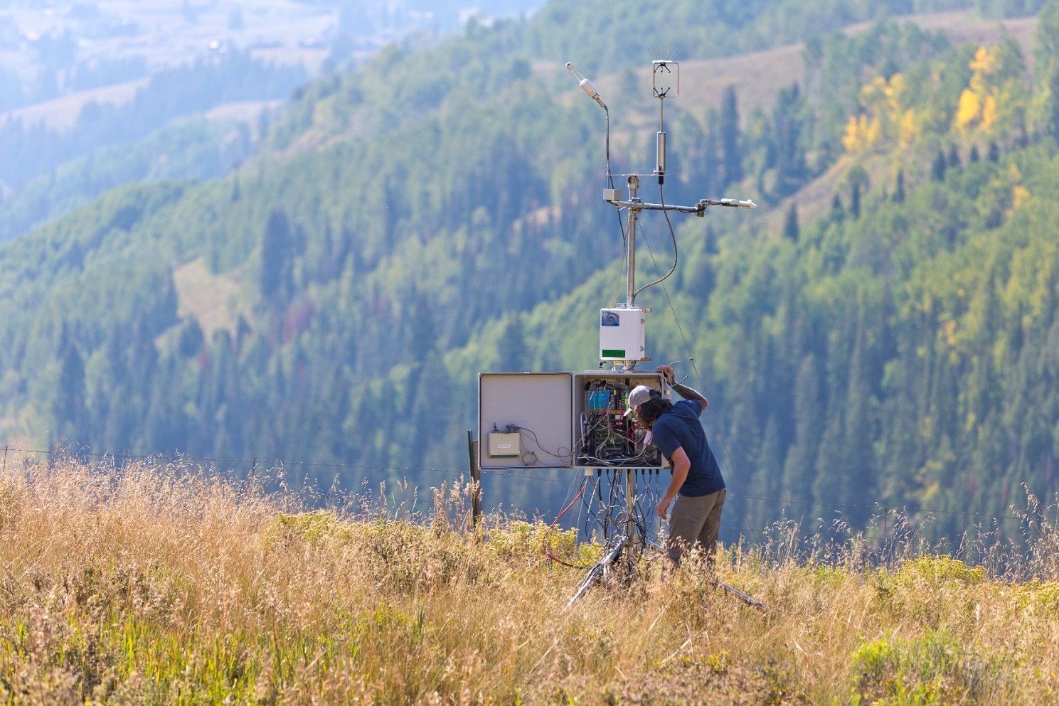
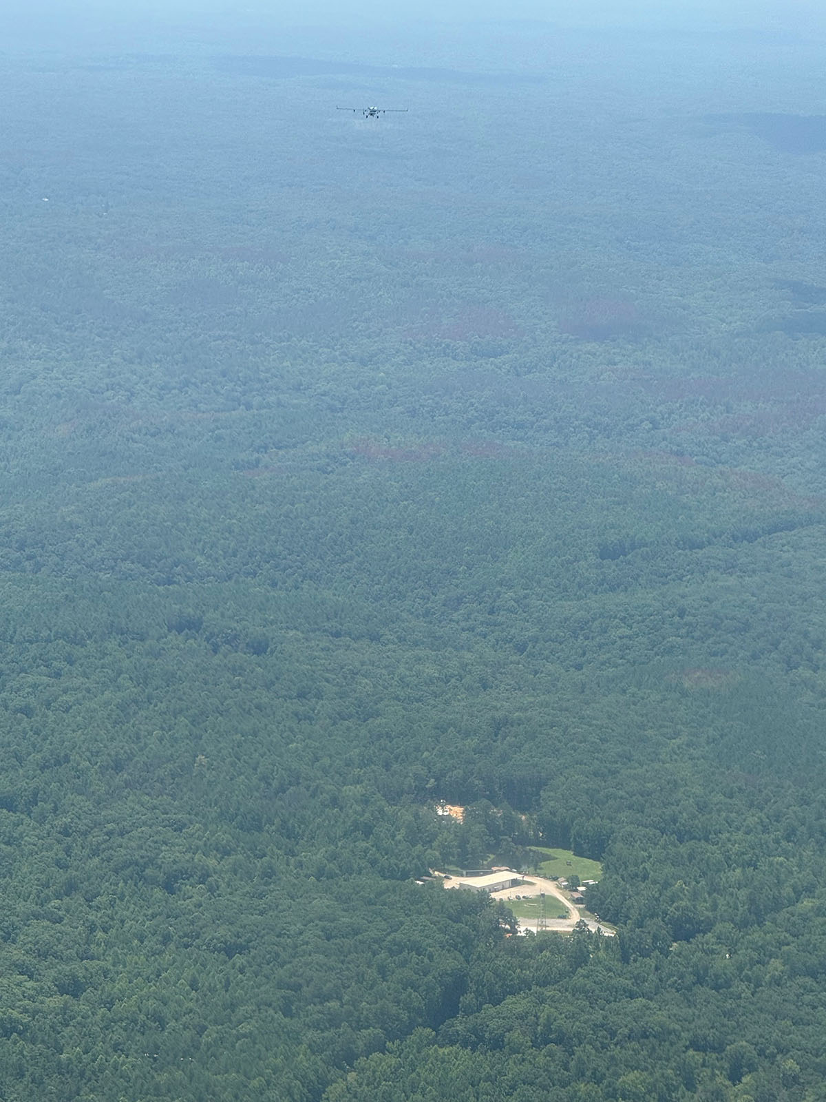
Coast-Urban-Rural Atmospheric Gradient Experiment
1 December 2024 - 30 November 2025 View All CampaignsExplore the ARM Observatories
Discover ARM's Capabilities

Read the Latest from ARM
Features
Welcome to the New-Look ARM.gov!
ARM.gov has gotten a refresh after more than eight years with its previous look. Peruse the site's new features!
Busy at Bankhead
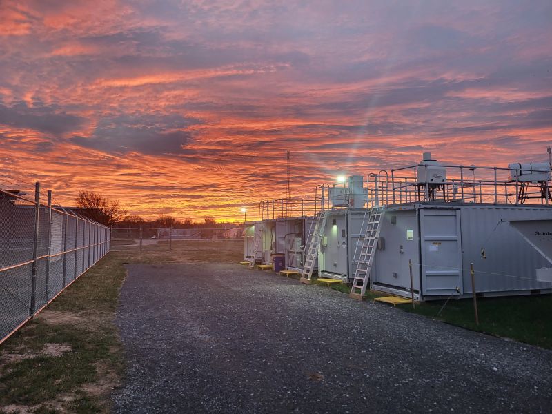
More instruments are going up at ARM’s newest long-term atmospheric observatory, and science activity is increasing.
Brave New CoURAGE Campaign Set to Begin
In and around Baltimore, Maryland, scientists, technicians, and students are poised for a year of measuring an urban atmosphere during the Coast-Urban-Rural Atmospheric Gradient Experiment (CoURAGE).
Data Announcements
Gridded Scanning Cloud Radar Products Released for TRACER Field Campaign
These products make it easier for scientists to use scanning ARM cloud radar observations from the 2021–2022 TRacking Aerosol Convection interactions ExpeRiment (TRACER).
Processing of Doppler Lidar Wind Product Temporarily Shifts at SGP
Additional data from the Doppler Lidar Wind (DLPROF-WIND) value-added product are now available from the Southern Great Plains (SGP) atmospheric observatory because of a temporary change in instrument operations.
Updated: Quality-Assured SAIL X-Band Radar Data Available for Evaluation
The quality-assured data from the Surface Atmosphere Integrated Field Laboratory (SAIL) campaign come from the Colorado State University X-band scanning radar.

Research Highlights
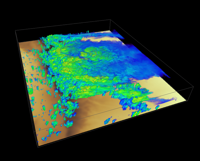
Increasing model spatial resolution fails to reduce simulated storm biases
Accurately predicting impacts from storms depends on accurately simulating their growth as a function of atmospheric conditions. Using a model setup like those used for operational forecasting, results show that total storm rainfall over a large area is reasonably predicted. However, heavy rain rates were too frequent and light rain rates were too infrequent at a local scale when compared to observations, meaning the balance between rainfall frequency and intensity is incorrectly predicted. This is caused by an excessive number of simulated storms, a model bias that worsens as the atmosphere becomes more stable. Increasing model resolution to better resolve storm circulations does not reduce these biases, indicating model representation of precipitation formation and growth in storms requires improvement.
New methods for extracting more detail from existing data sets
Detailed data of what is in the atmosphere is often very complex, containing thousands of chemicals without known identities or properties. By developing new automated tools for analyzing certain types of data, this research will substantially improve the ability to make sense of these data and extract new details about the composition of the atmosphere.
Bridging the data gap in Southern Hemisphere aerosol research
Aerosols are known to affect cloud properties, including their formation, growth, and precipitation, which in turn influences climate over long time scales. Aerosol-cloud-interactions (ACI) depend on how their properties change together, yet few measurements capture this variability, especially in the presence of convective cloud populations that can be observed routinely by satellites. Models are often challenged because they assume aerosols are constant, which potentially leads to erroneous estimates of the impact of ACI. Furthermore, ACI pathways in convective clouds are complex and remain highly uncertain. To address the data gap and better understand the interactions of convective clouds and the surrounding environment, extensive in situ and remote-sensing measurements were collected during the Cloud, Aerosol, and Complex Terrain Interactions (CACTI) field campaign conducted between October 2018 and April 2019 over the Sierras de Córdoba range of central Argentina. The field campaign aimed to understand how convective clouds interact with environmental conditions, thermodynamics, aerosols, and surface properties. In contrast with previous studies that focused on clouds, this study describes measurements of aerosol number, size, composition, mixing state, and cloud condensation nuclei collected during CACTI.
Follow Us:


Keep up with the Atmospheric Observer
Updates on ARM news, events, and opportunities delivered to your inbox
ARM User Profile
ARM welcomes users from all institutions and nations. A free ARM user account is needed to access ARM data.


